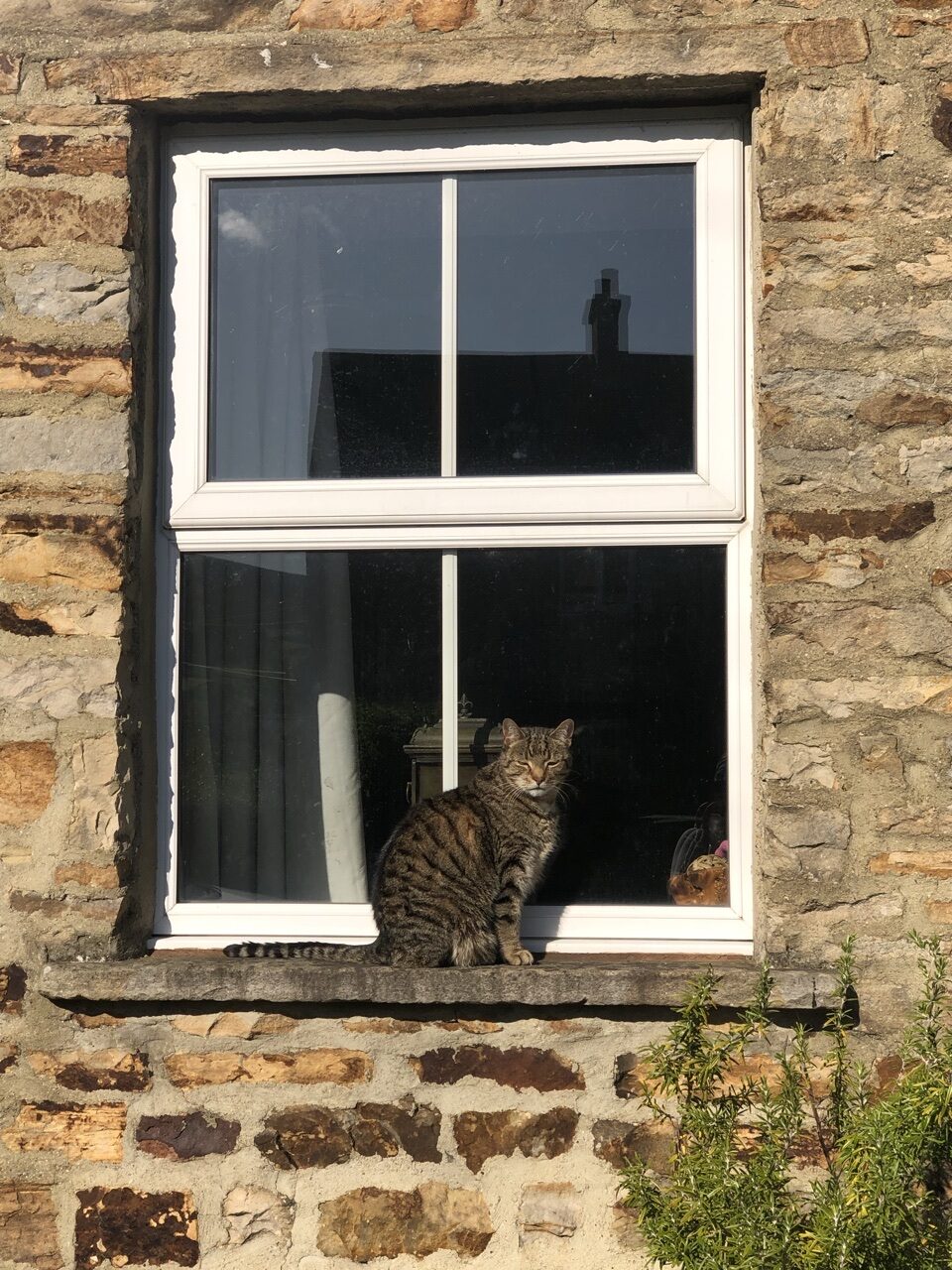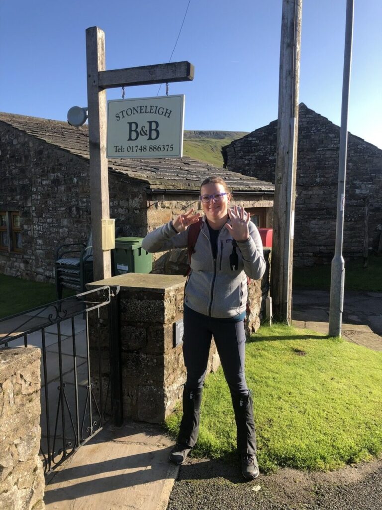
We woke to a beautiful fall day with crystal blue skies on day 8. This was by far the most beautiful day we experienced until our fourteenth day and final trek into Robin Hood’s Bay.
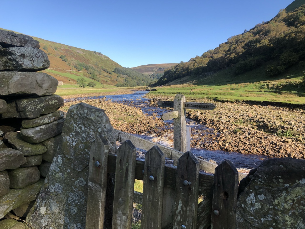
Today, we had a short hike to Reeth (if you consider eight to ten miles short 😂), walking in the heart of the Swale valley. Our B&B owners recommended that we stray from the coast to coast path when we got to Gunnerside. Rather than deviate from the river, a path continues to run the entire length of the river, meeting back up with the coast to coast path shortly before reaching Reeth. Frankly, I don’t know why you would want to take any other path!
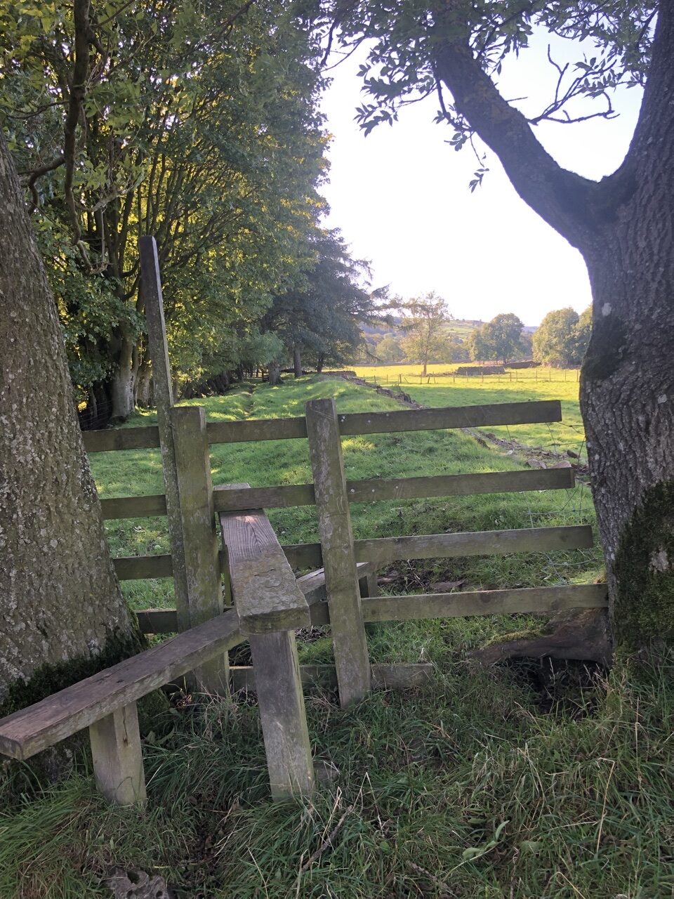
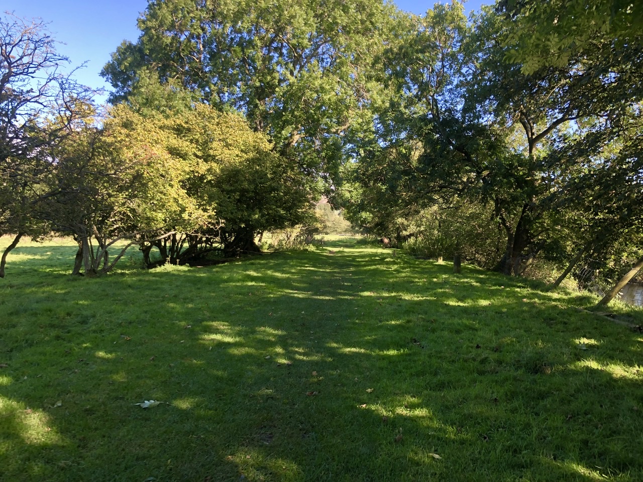
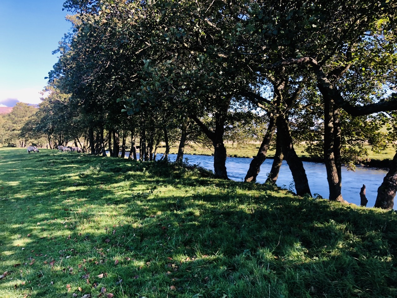
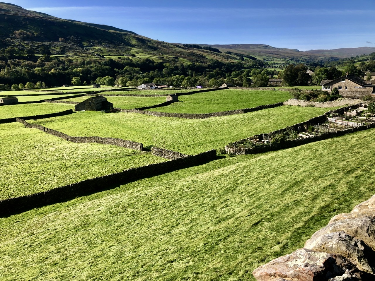
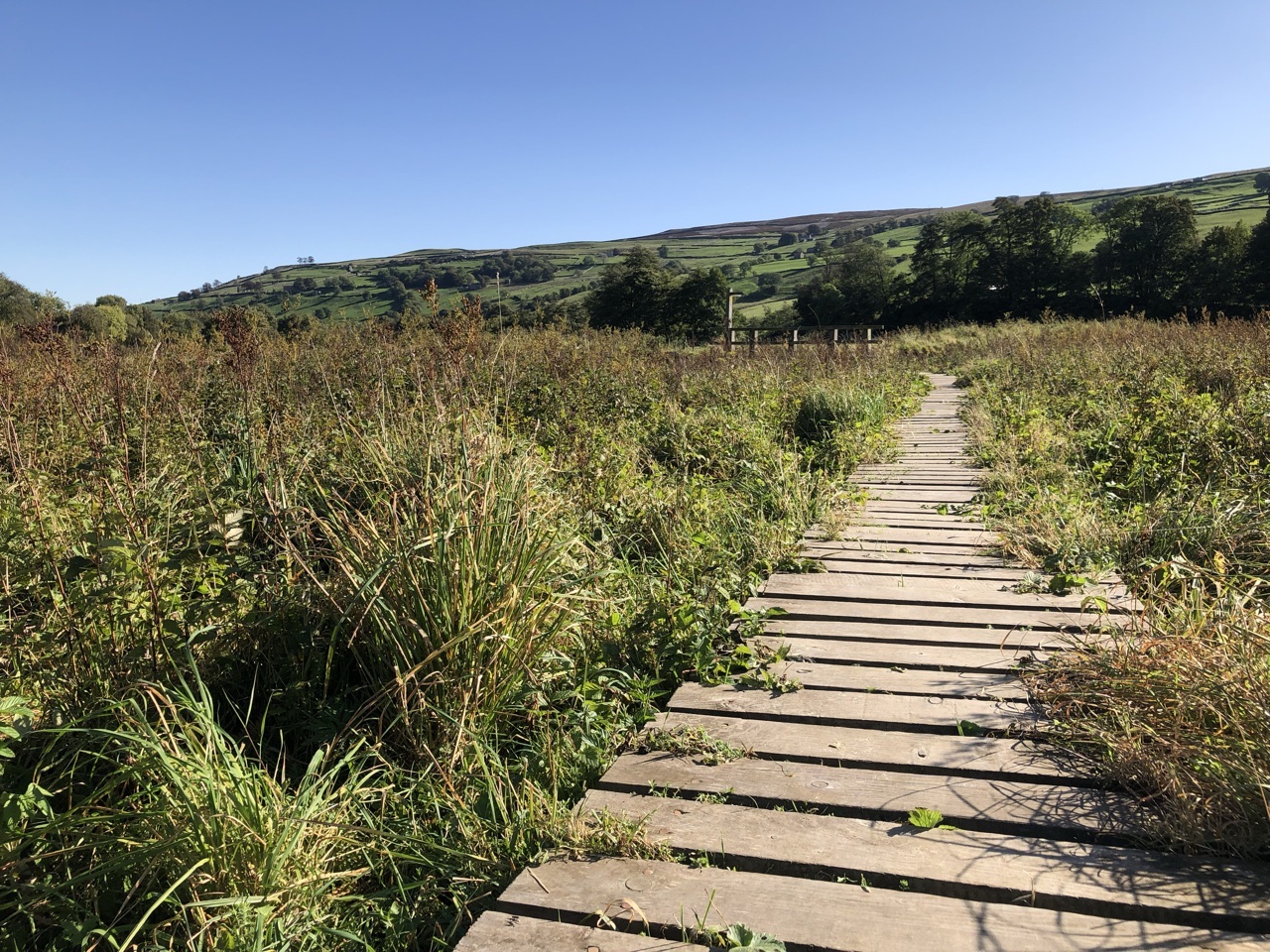
Leaving Muker, we recrossed the bridge over the River Swale. Spread before us was a large green pasture rolling high above the river. The path came to a break where we could continue straight or head down to the river. We were uncertain if this was correct at first, because the path down was going in the opposite direction. But, once we reached the bottom, the path turned back left, heading east. The path hugged the river.
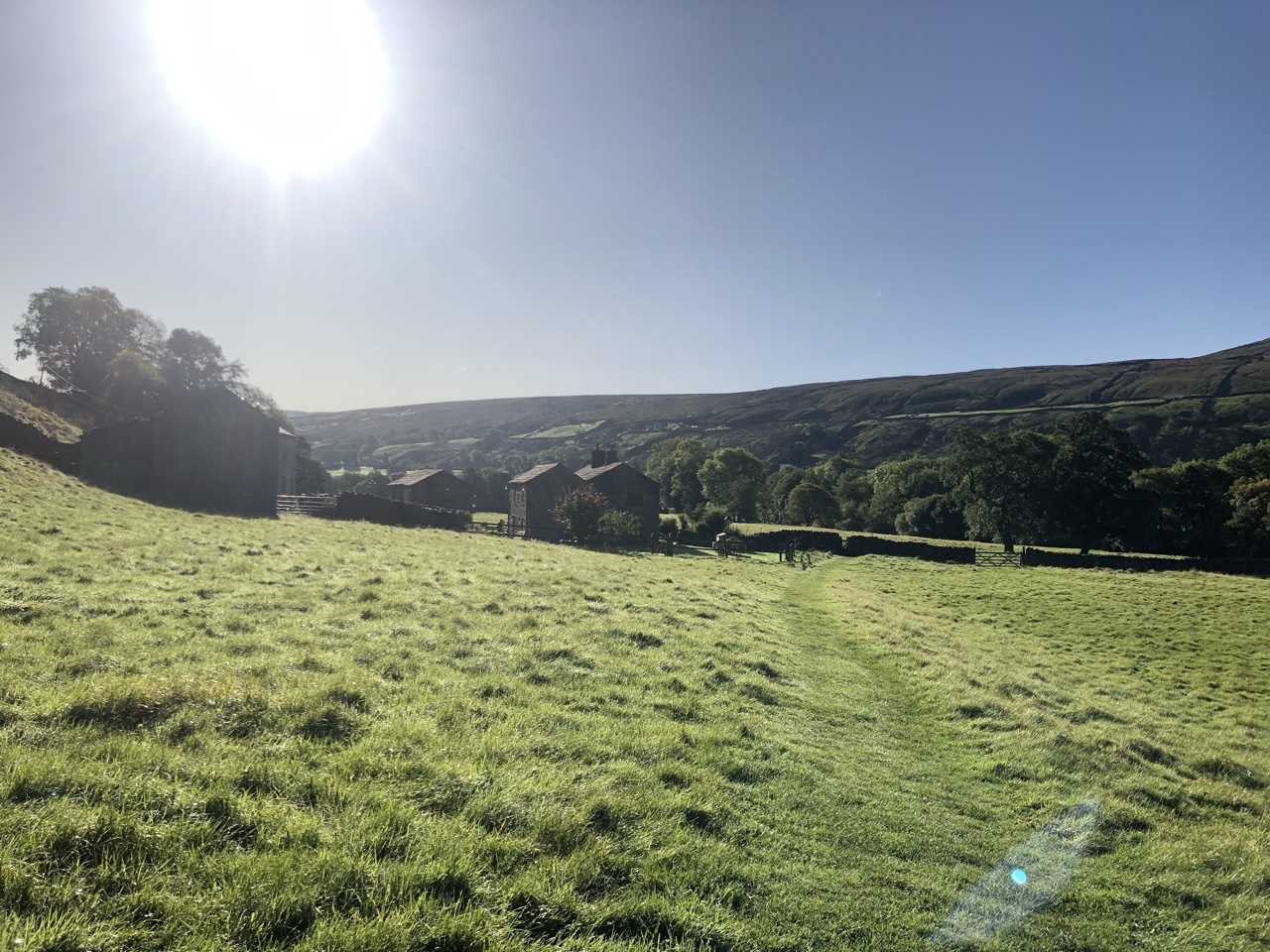
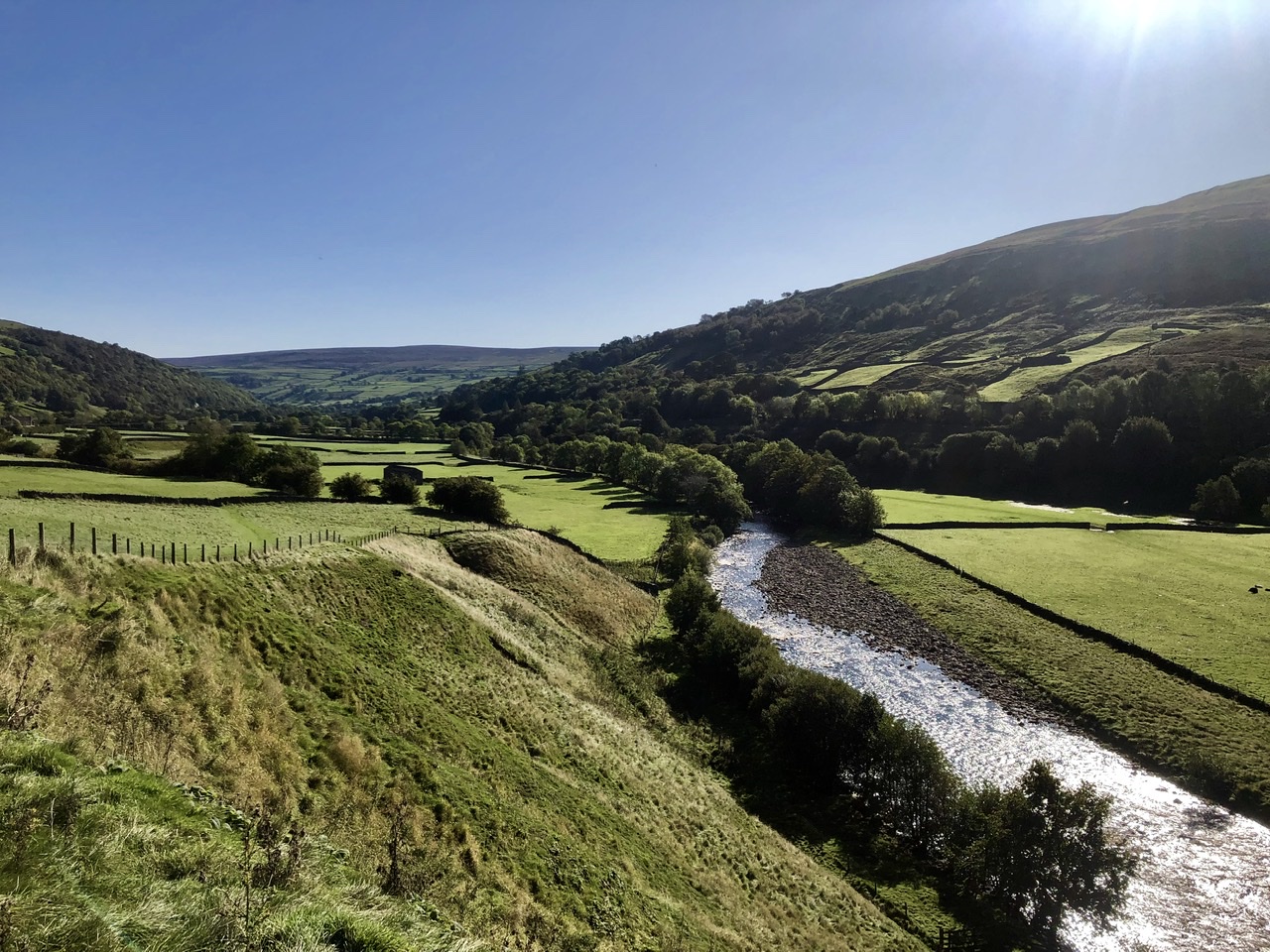
The riverbank felt like a scene stolen from Tolkien, with rolling hills on either side of us, conjuring images of the shire and hobbit-holes. The opening scene to The Return of the King, Sméagol discovers the ring while fishing. That scene could have been taken right out of the Dales. The intense green, the tranquility of the river flowing by, and the rolling hills dotted with old stone homes and cow’uses.
Under a large tree hanging far over the river, a large group of ducks swam against the current, ducking under for food.
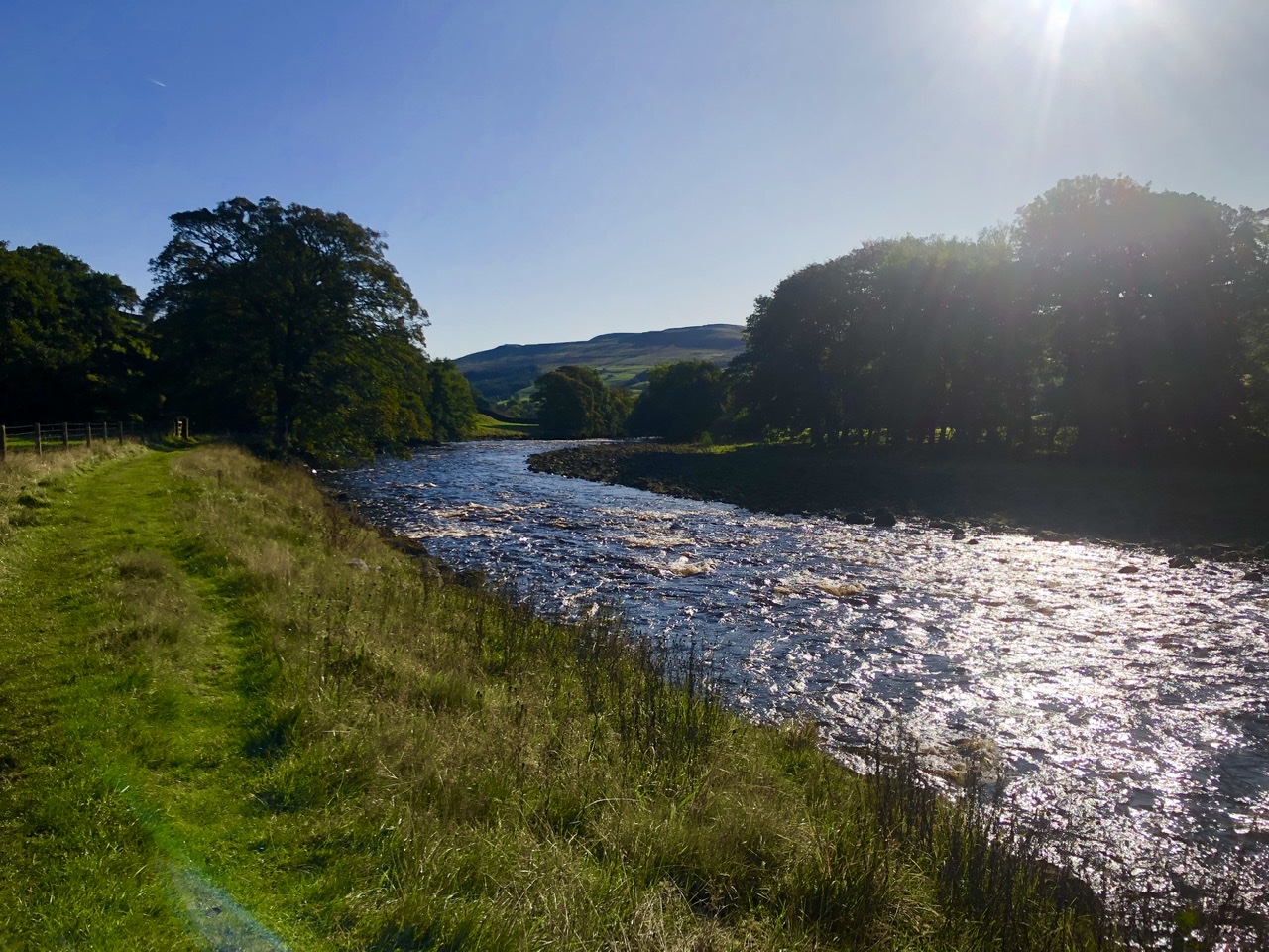
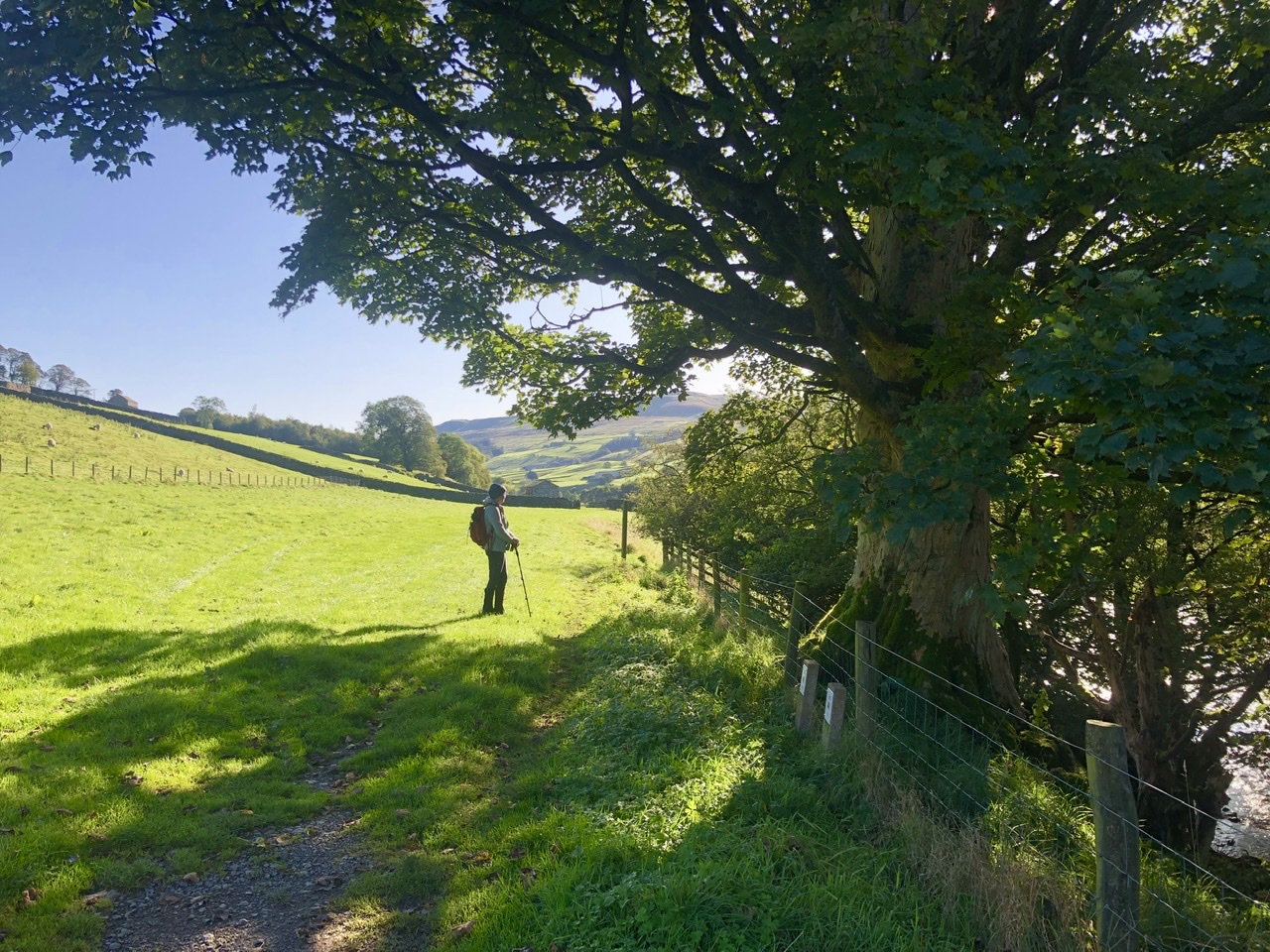
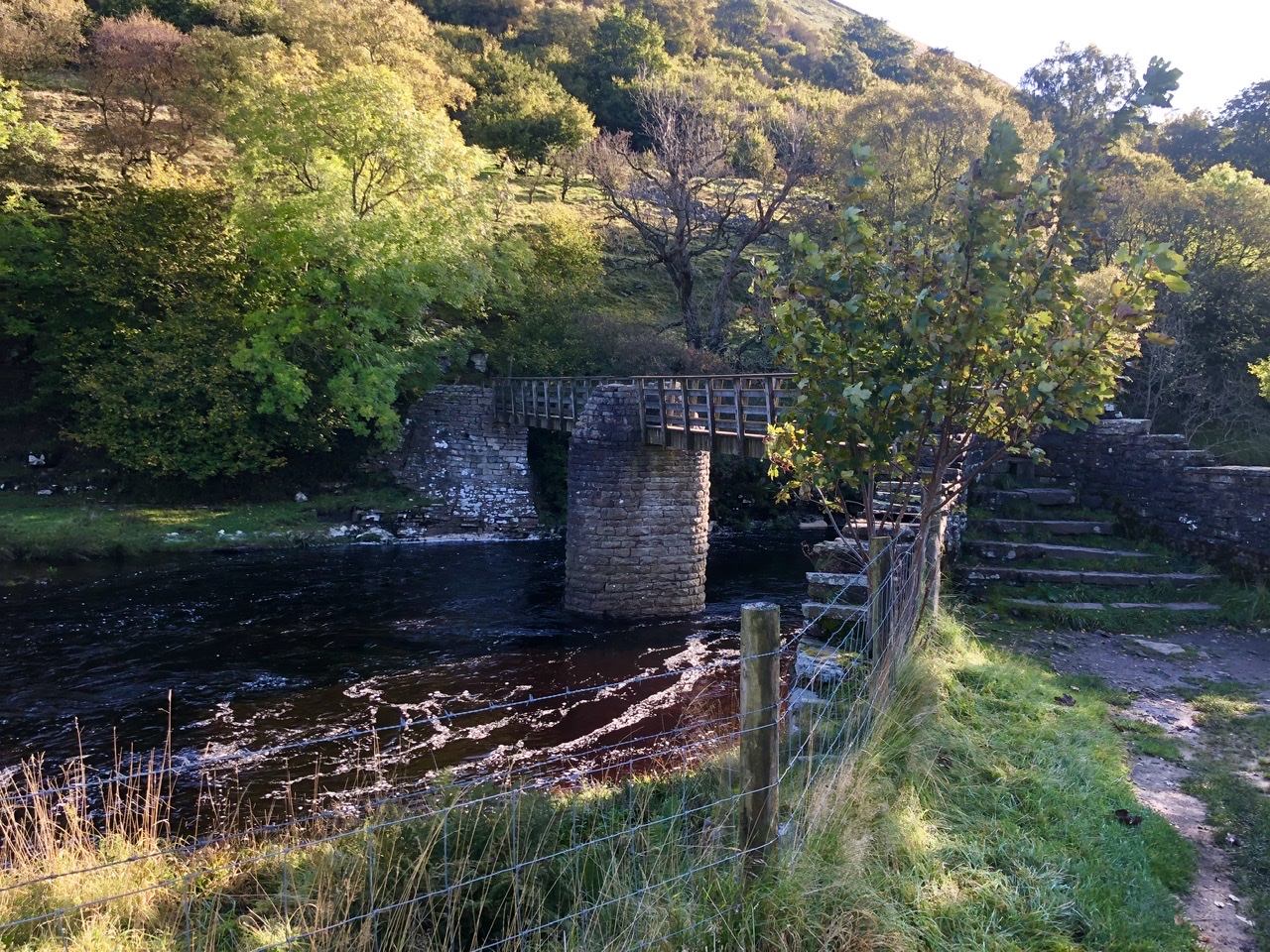
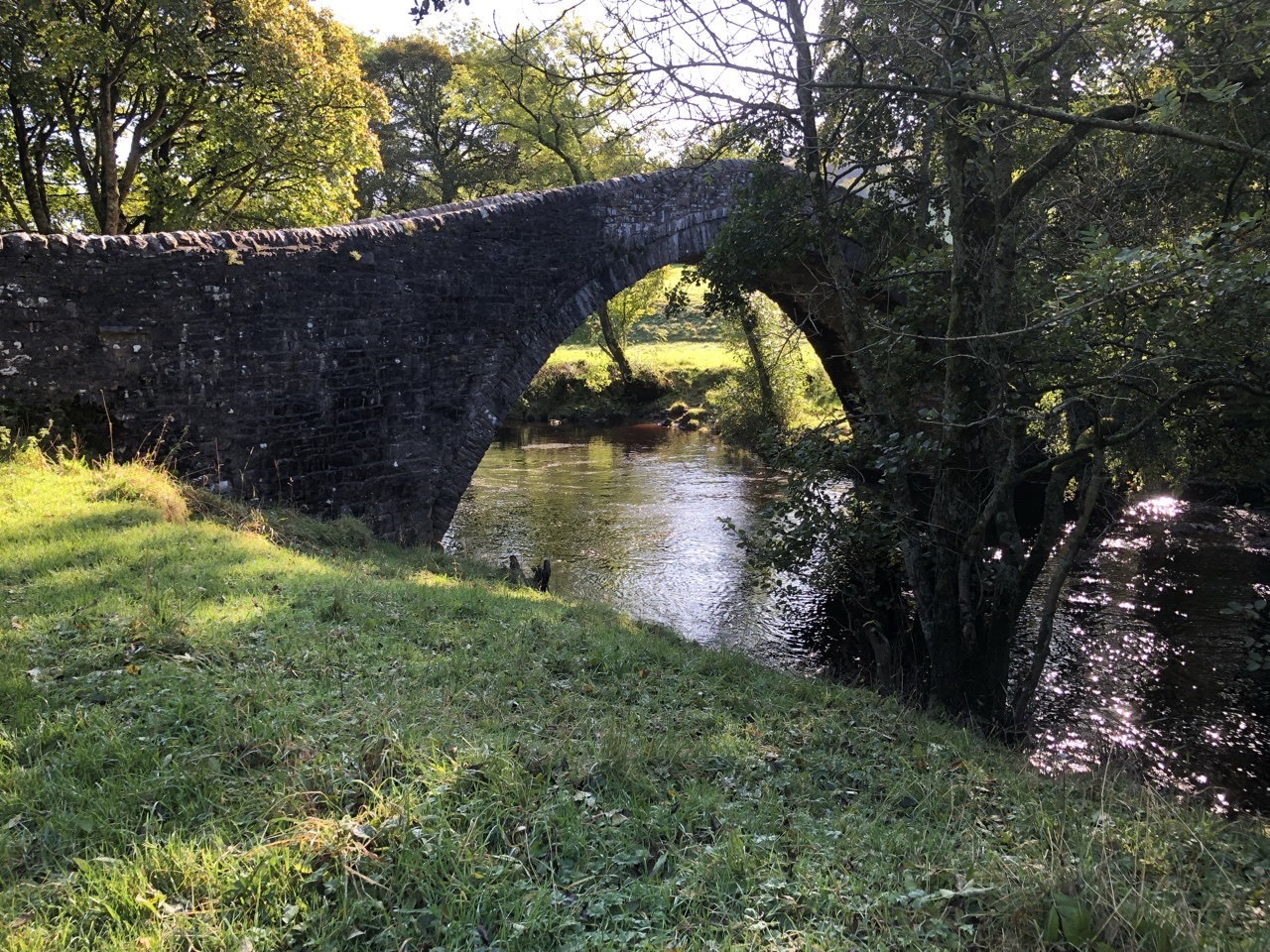
Ron was struck by all the old stone bridges we encountered during this day’s walk. They were beautiful and displayed the craftsmanship we have lost to the ages.
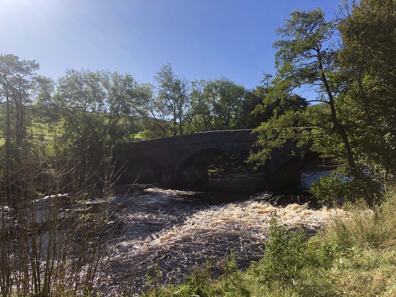
The path ends at a road that, turning left, leads into Gunnerside. To the right, the road passes over a bridge and turns sharply right, creating a blind spot when crossing the road. Be careful here, as cars speed by pretty quickly and you can’t see them coming.
We had wanted to stick to the river rather than enter into Gunnerside. On the map, it shows Gunnerside Beck joining with the River Swale (a beck is a mountain stream). As we walked down to the water, the only place we could cross was at the mouth of Gunnerside Beck, but the water was too high. We had had enough days of walking with soppy boots. With the bone dry day, we opted to keep our boots dry.
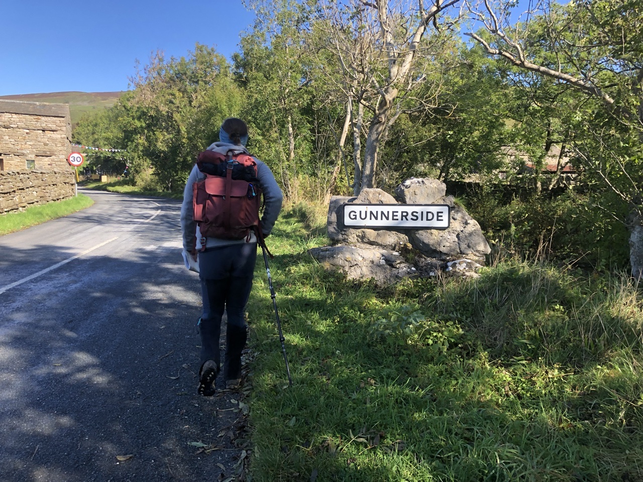
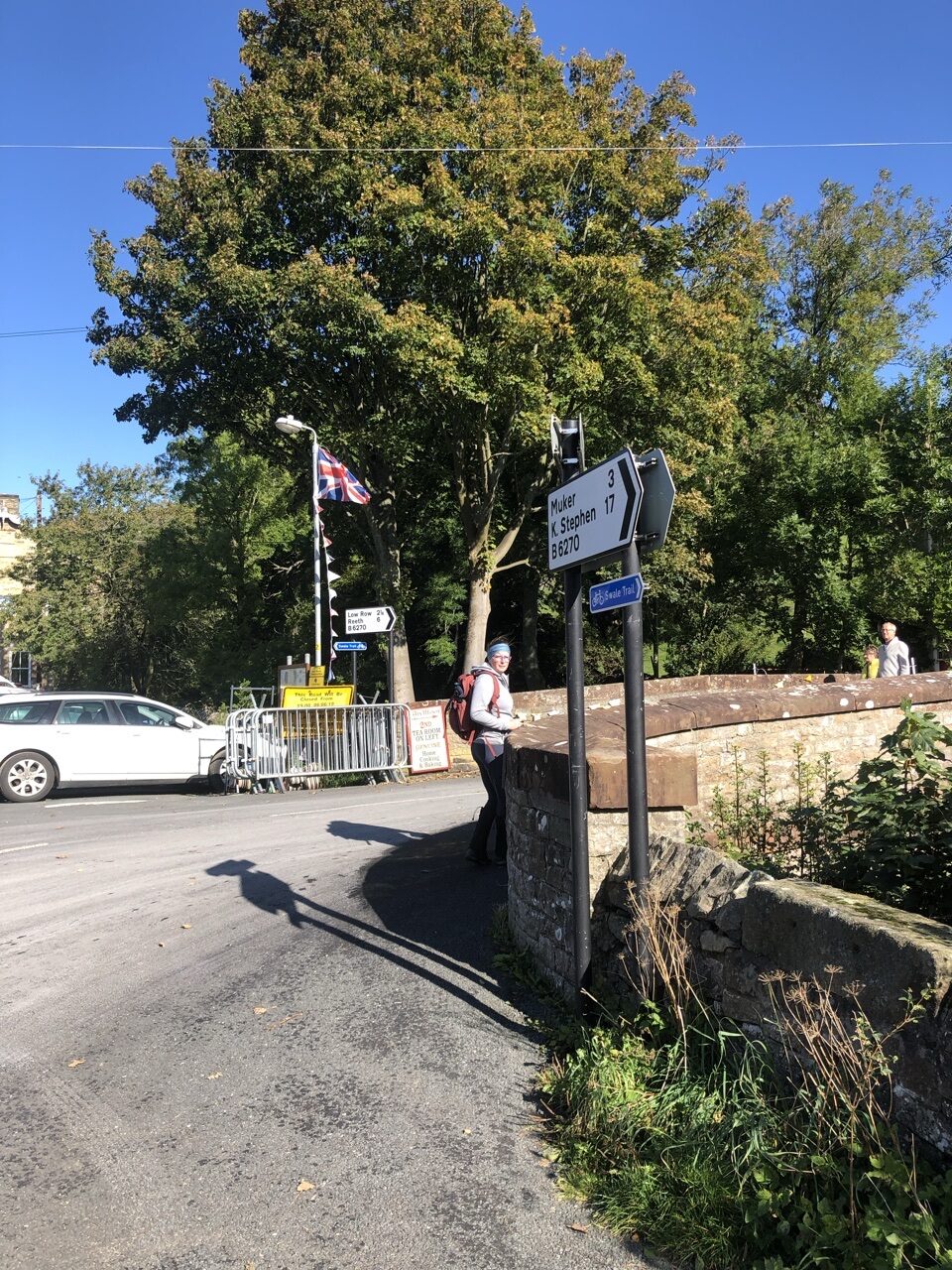
Inspecting the map, we found a way to join back with the path hugging the river just past Gunnerside. Gunnerside was a cute little town, set up for a bike race that was supposed to have passed through. However, the tour had been rerouted due to flooding from the previous days’ weather.
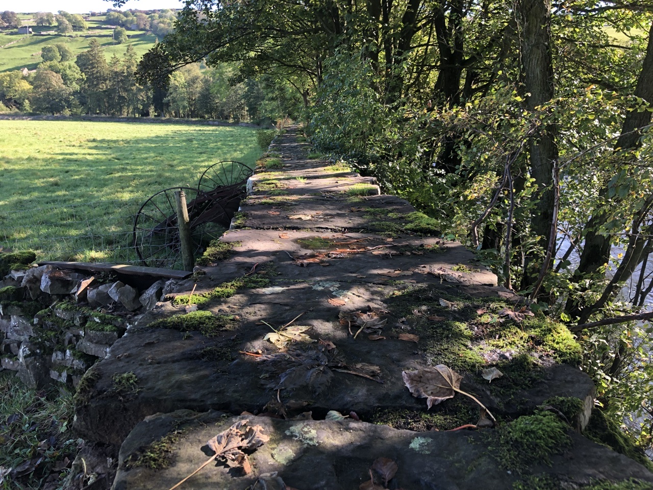
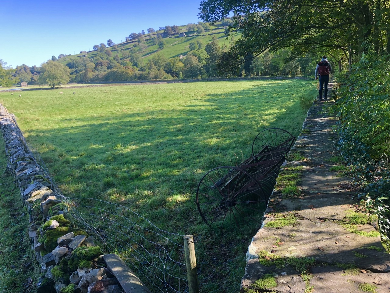
Shortly after joining back with the river, the path popped up on top of a wide stone wall covered in lichen and moss. Who knows how old this wall was? But it was so neat walking along it with the river flowing past to the right.
After we transitioned back to the grass pathway, a hill rose to our left, speckled with rabbits. We stopped to count how many rabbits there were… we lost count. Over thirty. Seeing them all made us ponder how rabbits are bred for meat. We had no idea.
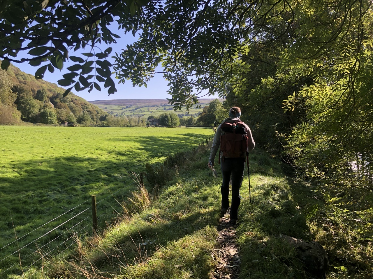
The path took us back up to the road leading into Reeth, but we were only on it for about a quarter of a mile before returning to a path along the river. The path crossed another beck, the Barney Beck, but this time there were large stepping stones to get us across the mouth of the stream.
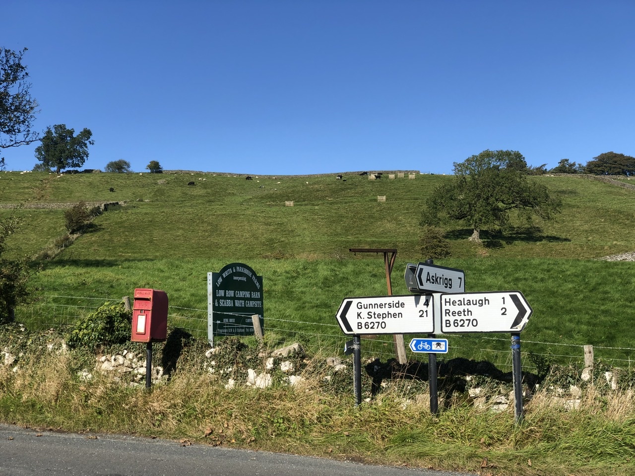
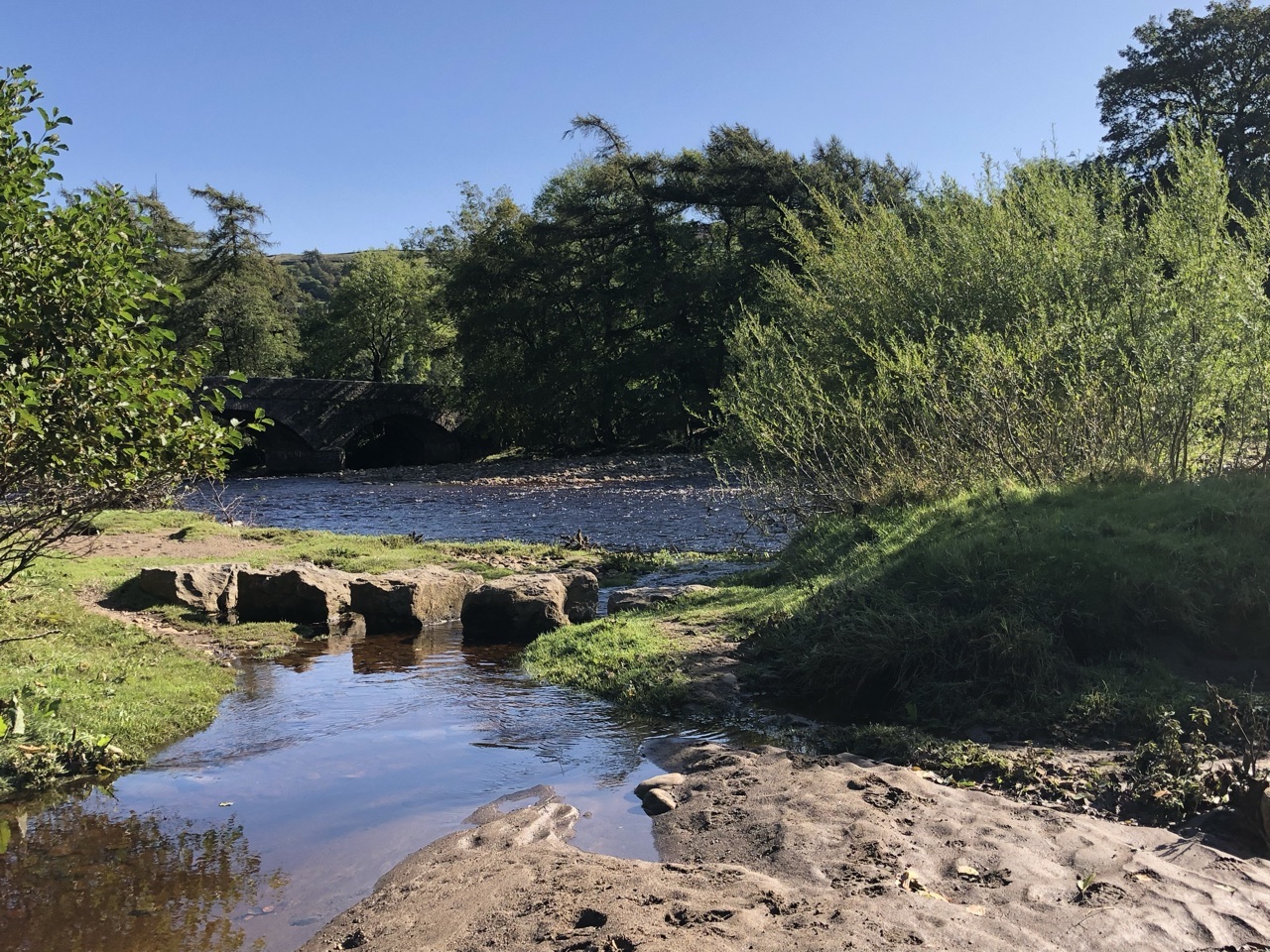
Shortly after, the coast to coast path joined the path we were on, leading us into Reeth, one of the larger towns we had as of yet stayed.
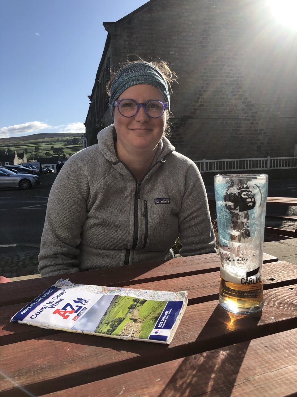
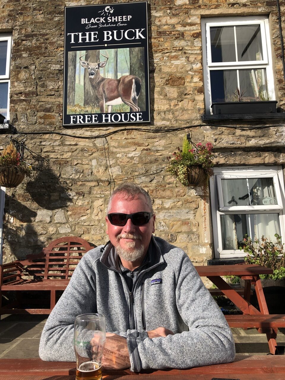
With the sun shining, we bought a pint and sat outside, enjoying the crisp fall day. The next day would be our last day in the Dales, which saddened us as the tranquility and beauty had been second to none.
That evening at dinner, we ran back into the Canadian couple we met on the day of the dog. This was the evening they told us about their harrowing decent down from Kidsty Pike the day after us in torrential rain. We couldn’t even fathom reliving that hike during a heavy rain; it was hard enough in bone dry weather!
Random side note (mini rant?)… I hate when travel bloggers post these pristine photos of themselves with no other tourists around them rather than portraying how travel actually looks like. So many of the blogs I read when planning my trip to Asia last year were so deceitful, both with their photos and the way they raved about certain tourist destinations that were definitely not worth it and not all that. They cared more about the Instagram shot than portraying the reality of what the average tourist will encounter.
None of my photos have been doctored to suggest that this walk is more tranquil than it actually is. We walked after the popular season, and the number of hikers is greatly reduced. Most days, we never encountered other hikers. We would encounter locals, but rarely other hikers. That will not be the case if you hike during the prime season, in which, we hear, the paths have a pretty steady flow of hikers. I recommend hiking in the off season. The weather may be more unpredictable, but the solitude is worth it.
Also, if I rave about a B&B or restaurant, I’m not getting paid. I truly want to illustrate the true nature of this hike. I hate deceitful travel blogging. I will always tell it as it is.
Til tomorrow 👋🏻
Missed any days? Check out my Coast to Coast blog for the rest of our two week adventure across England.
