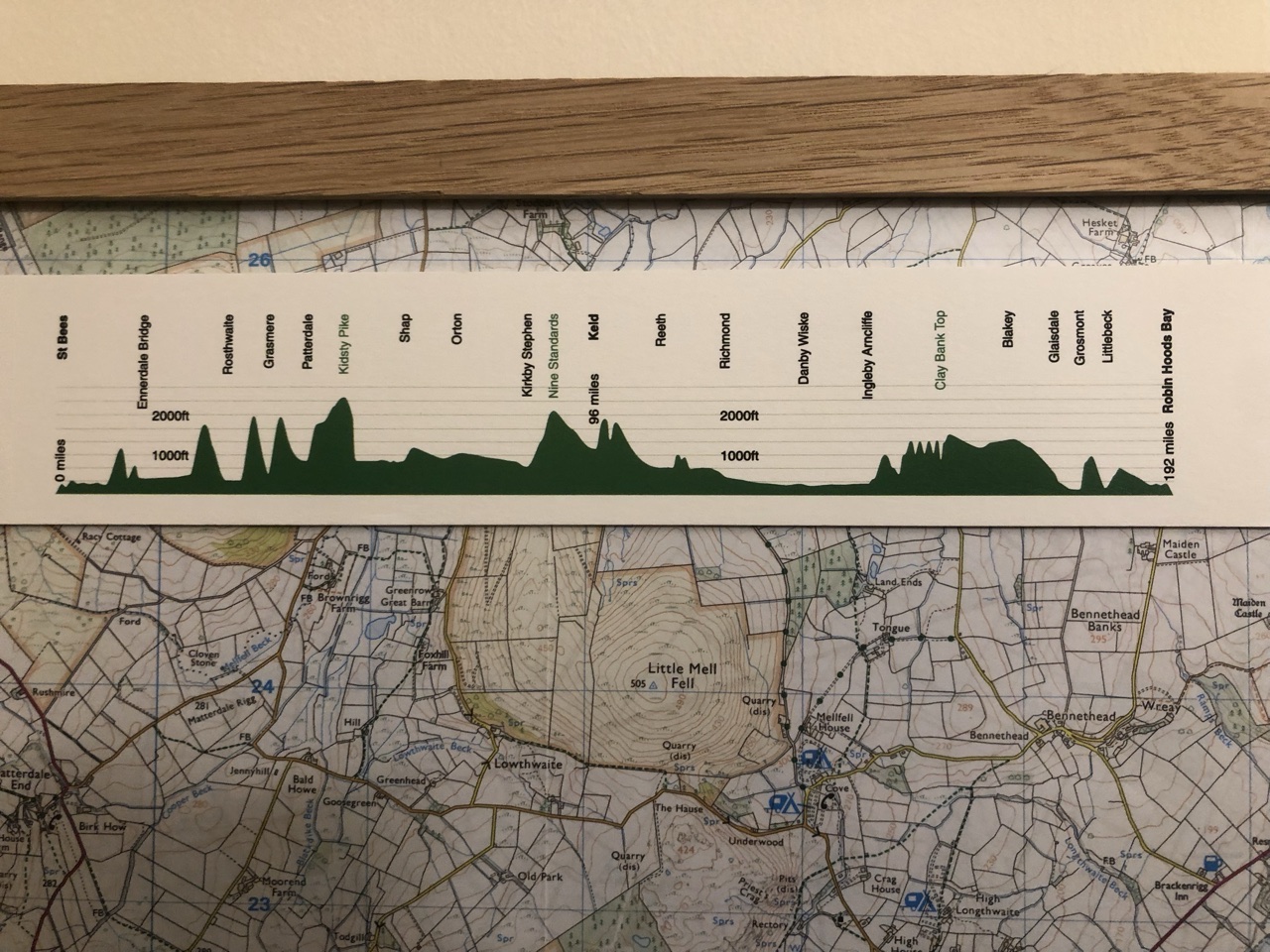
Day 4 was probably the most brutal day of the entire 14 day hike. This day included peaking Kidsty Pike, the highest mountain along the C2C route, topping over 2000 feet. Before suiting up, I put moleskin and duct tape over the tender spots on Ron’s foot. Duct tape, the MacGyver of hiking tools.
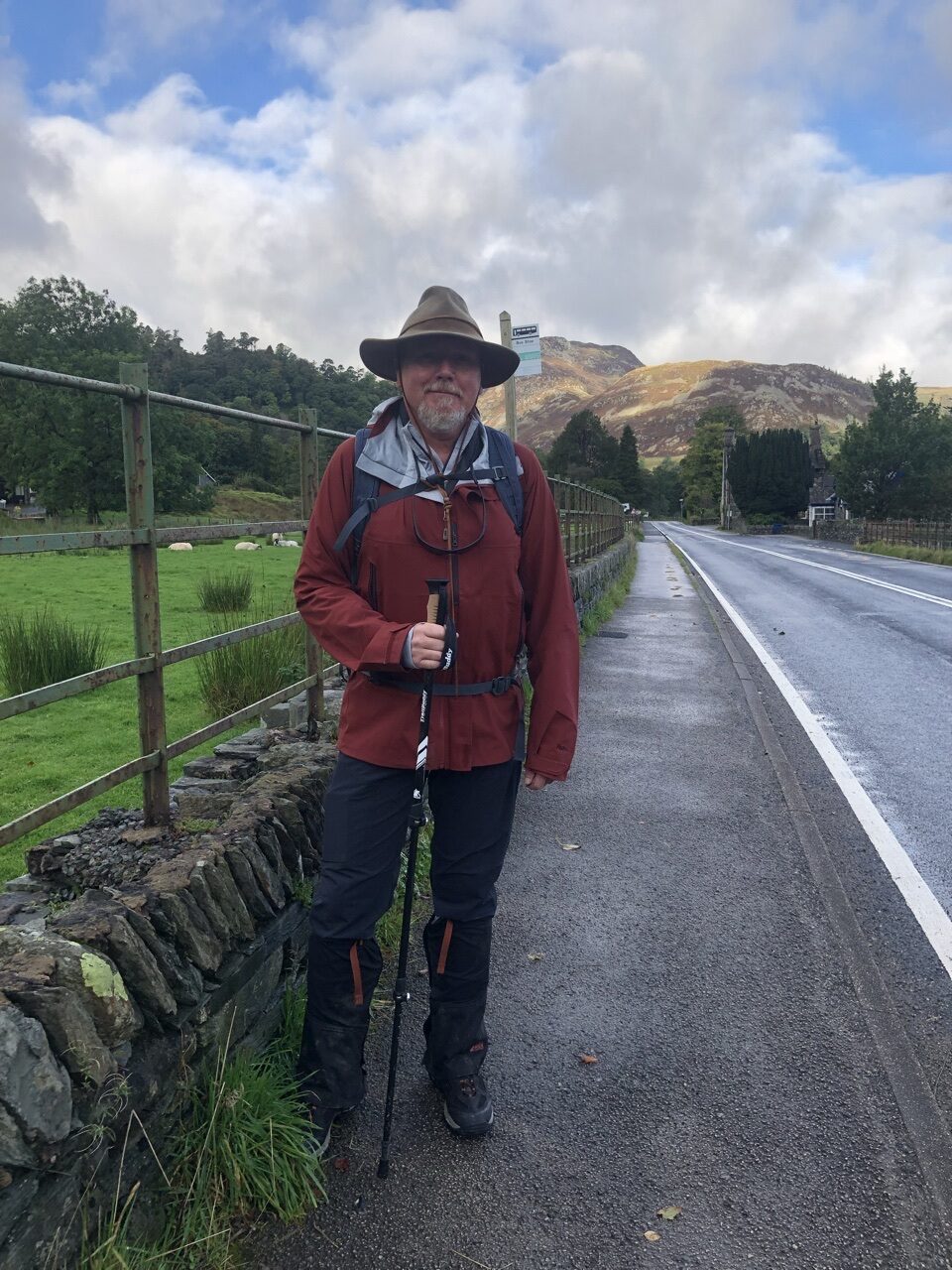
Fortunately, the day was beautiful. It felt like one of those idyllic, crisp fall mornings as we left the B&B. We made the mistake of staying straight out of our B&B, missing our turn. After about a mile, we stopped and reassessed the map, catching our mistake. Frustrated, we turned back around.
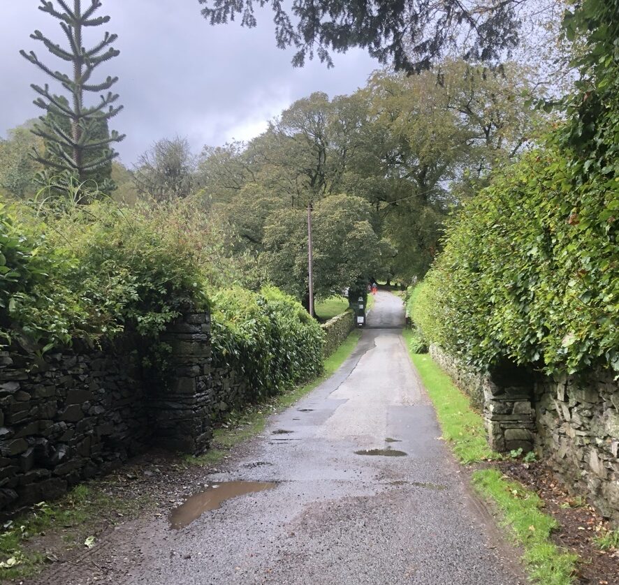
My knees were killing me by this point. We had just spent two and a half days climbing up and down mountains, and the prospect of tackling the highest mountain had me trudging slowly and stiffly.
Once we got back on course, we passed through a small neighborhood before catching the trail that brought us up the first mountain. This path was steep and I was miserable. My knees were screaming, so we stopped and rested briefly a couple of times.
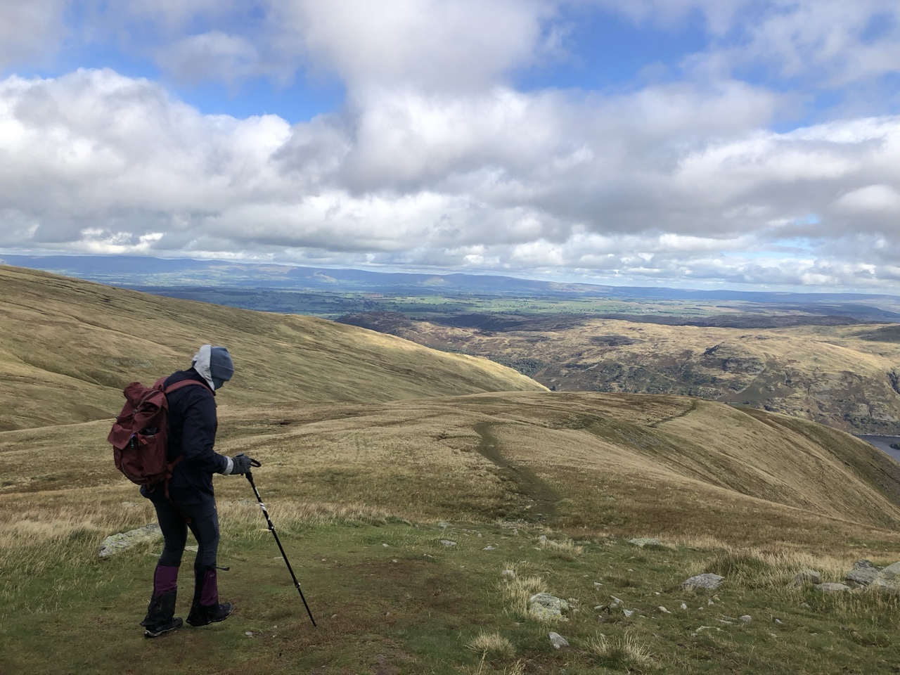
Looking back down after we reached the top of the path:
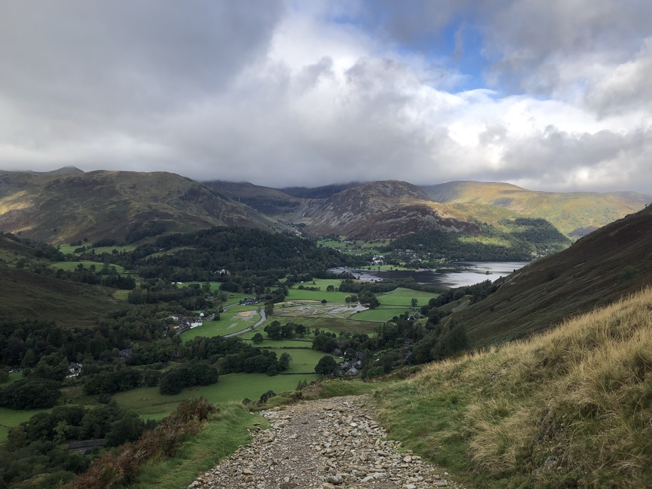
By the time we got to the top of the first mountain, my knees had started to warm up and weren’t as awful. Continuing to climb in elevation, the path took us mostly along the side of a mountain. There’s a point where the path splits. The path to the left cut through the mountain and the path to the right skirted around the side, but both paths end at the lake Angle Tarn. We chose the path to the right, hugging the side of the mountain.
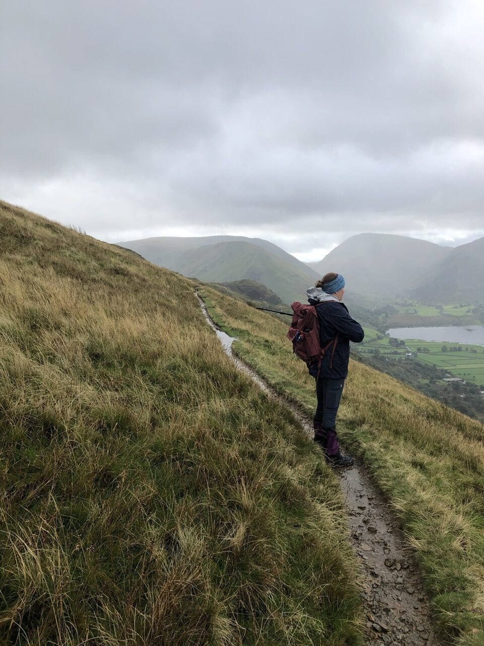
The views to our right were stunning, displaying the massiveness of the Lake District. As we neared the turn in the path, we paused to look back upon the vast distance we had covered, marveling at ourselves for having accomplished such a feat, and yet, we were still not quite a third of our way across England. Casting one last look back across the Lake District, we turned and rounded the side of a mountain, cutting off the valley behind us.
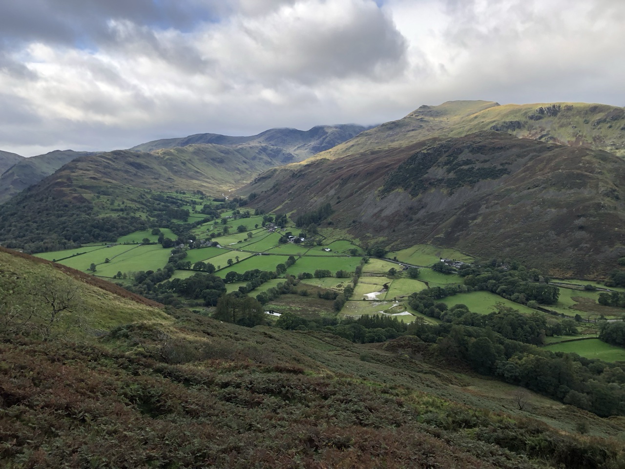
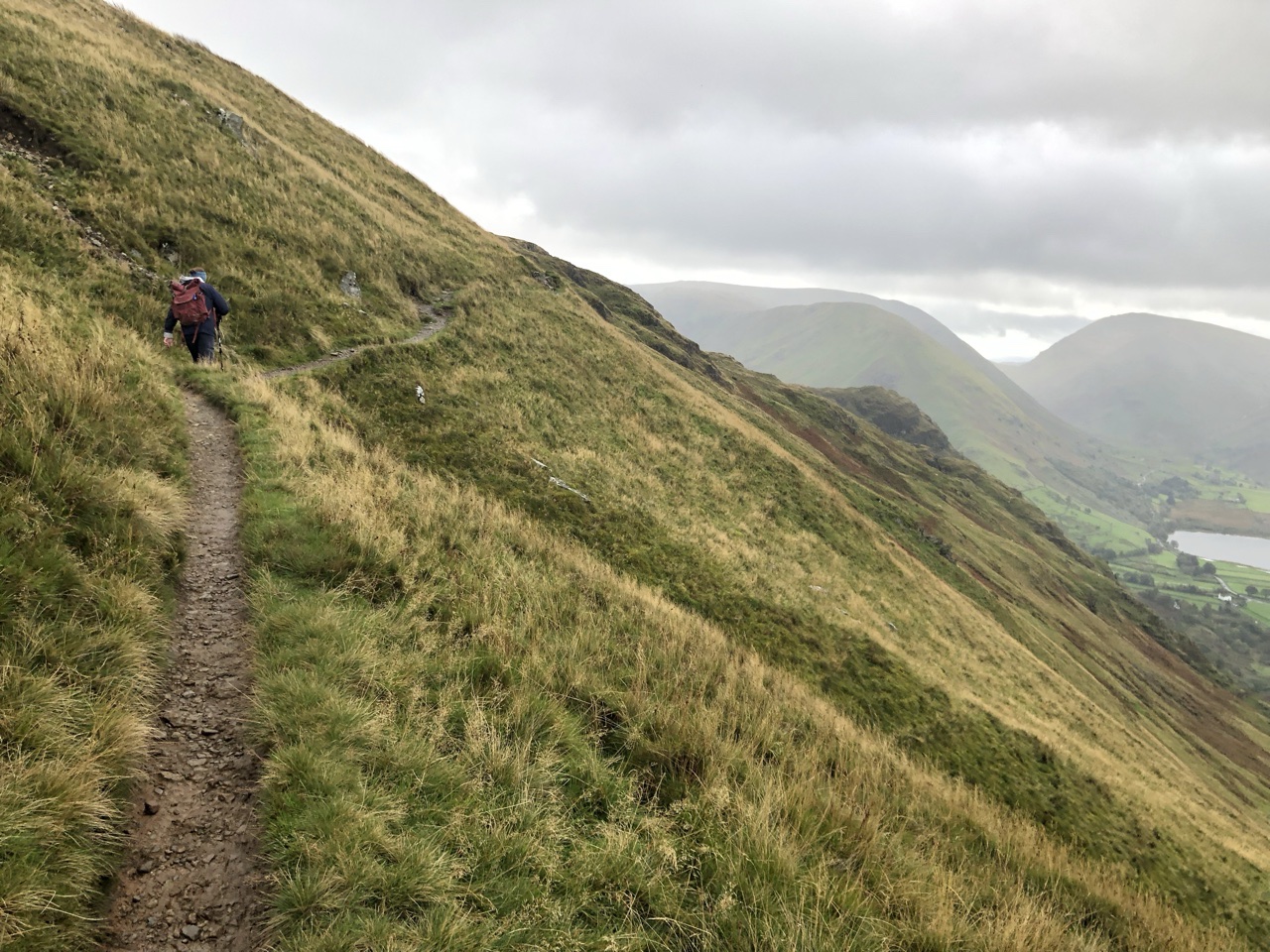
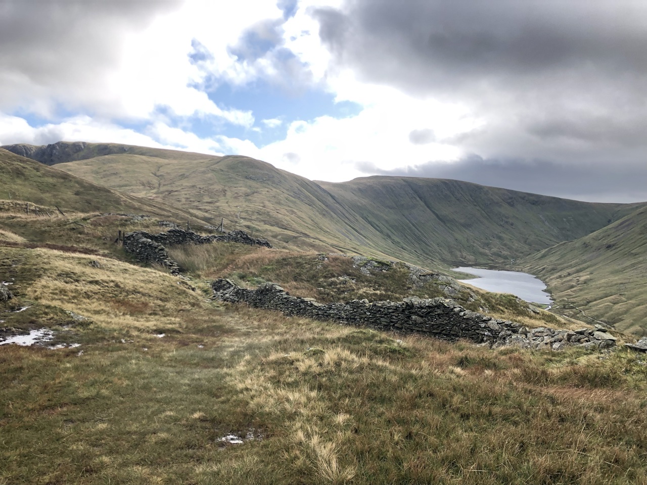
Once we rounded the mountain, Angle Tarn was off to our right, and the remaining mountains of the Lake District sprawled in front of us. We couldn’t see Kidsty Pike yet. The ground was mostly flat, with gentle rolls up and down across the path. The land was rugged, dotted with old, crumbly walls. We marveled at the shear brutality it would have taken to transport all of these rocks to build these walls, and we came to find these old walls throughout much of the trek across the country, some having been fixed and still utilized.
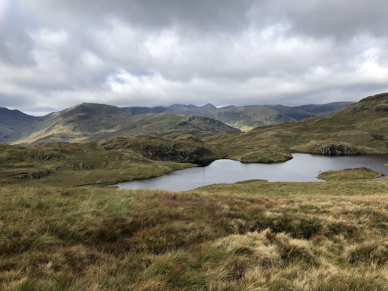
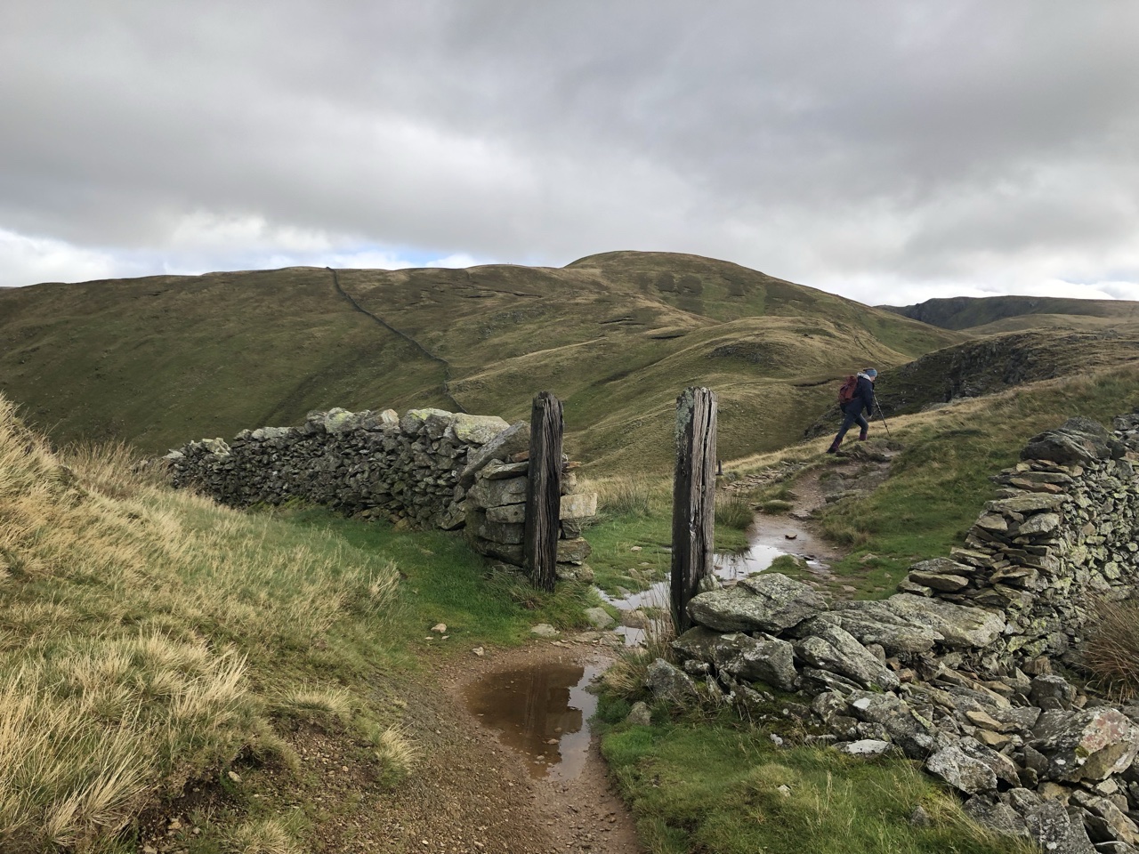
As we trudged along, we saw day hikers, mountain joggers, and then, we saw a site that was a gut punch to Ron’s stomach. Up over the mountains, a group of men in their sixties were mountain biking, up and down, and fast. We couldn’t imagine getting the bikes up the steepness of the path we took to get to the top, and while we trudged slowly with aches and pains, these guys were flying. Ron generally feels good about how he looks and his physical capabilities for his ages, but when he saw this group of assholes flaunting their extreme capabilities at this stage of life, Ron was gutted.
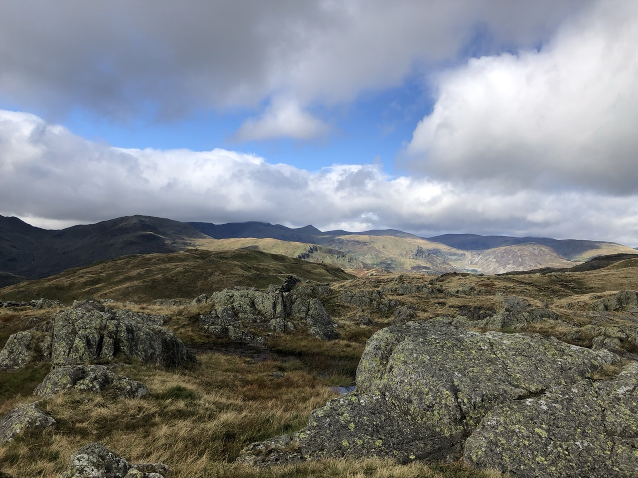
The next few miles felt like they would never end. This was a day full of complaining. My knees hurt. My shoulders hurt. Ron’s foot hurt. Bitch, bitch, bitch.
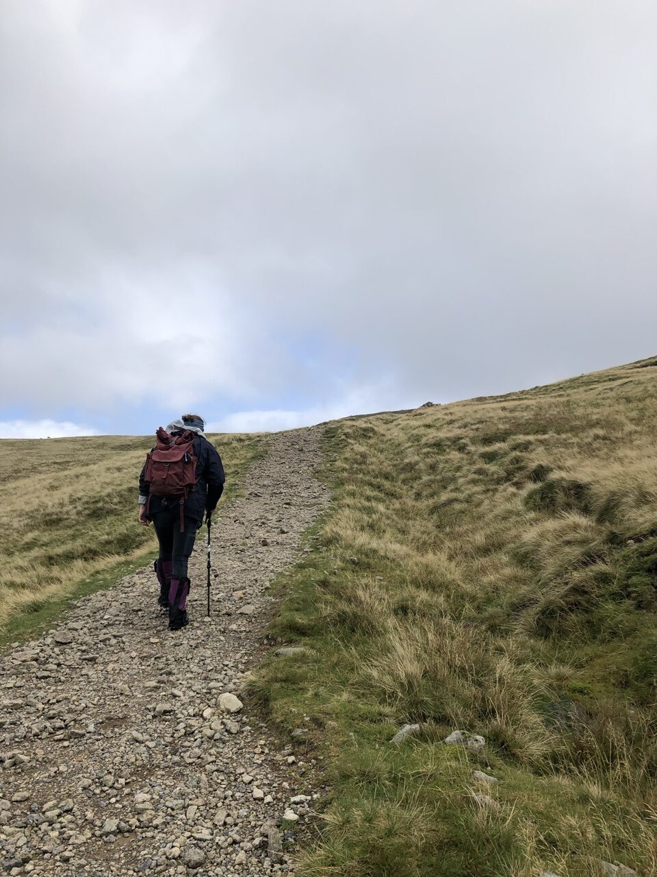
The B&B host told us to be careful finding the turn off toward Kidsty Pike. He told us there would be three large cairns that, in the large picture, would form a triangle. The second cairn is where we were supposed to turn left, but we hadn’t noticed the first cairn so we didn’t recognize the turn off and kept walking straight.
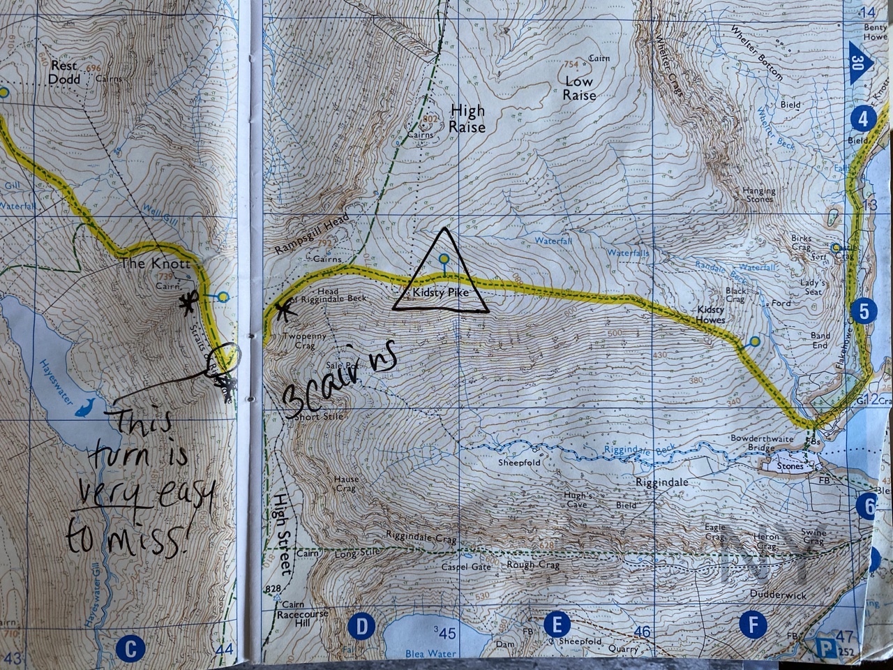
We saw groups of hikers walking to the left toward the same spot, and looking forward, we didn’t see any turn offs. This was another instance where being able to grab Google maps and compare it to the physical map was very helpful. We figured out we had missed our turn and had to backtrack back up the mountain, now turning right toward Kidsty Pike.
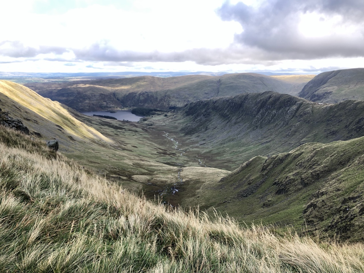
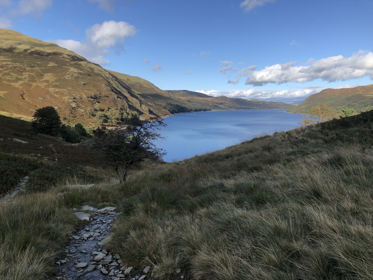
The top of the Peak gave a stunning panoramic of the countryside that lay in front of us, but it was cold and gusty! Down below, we could the Haweswater Reservoir that we would walk along after descending the mountain.
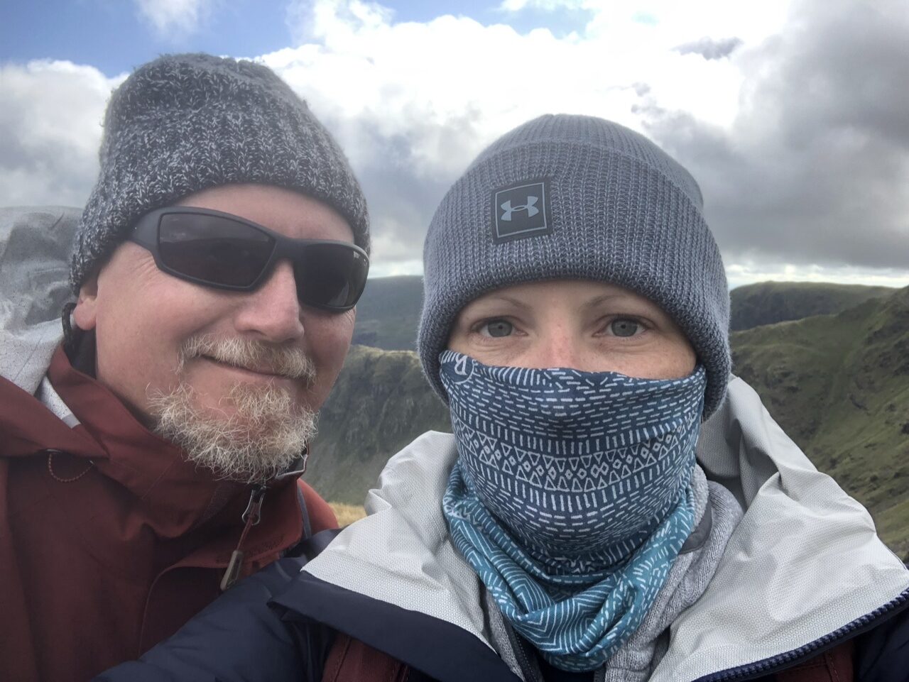
The way down was difficult, and we were very fortunate the day was nice. We met back up with that Canadian couple in the Yorkshire Dales, and they had descended the mountain the day after us, during a torrential downpour. What we thought was difficult was a nightmare for them because the steep descent became traversing a waterfall.
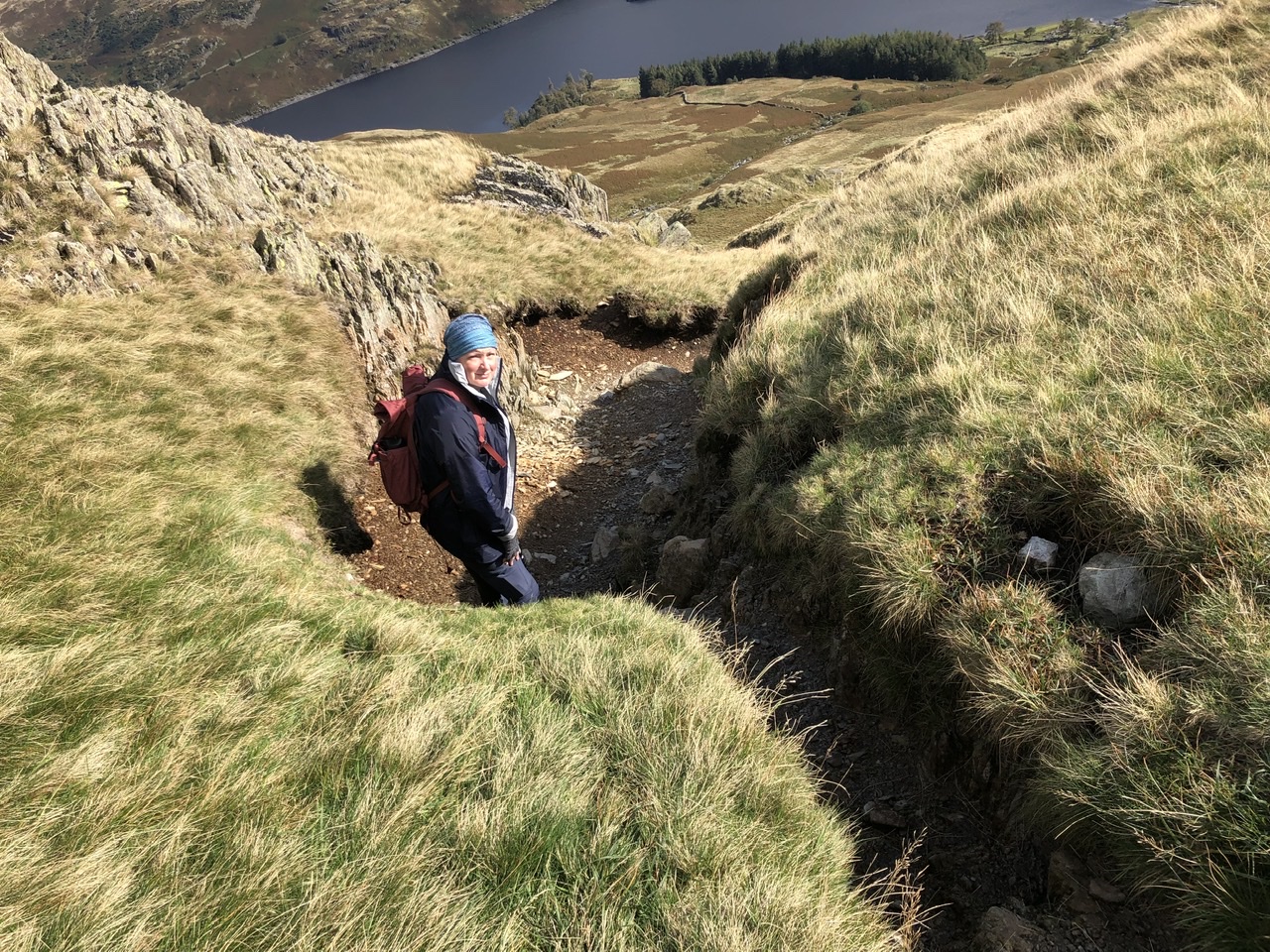
At times, we would have to sit down to get down to the next level. Our hiking sticks were essential. To give a sense of the awfulness of the descent, here is a photo looking back up:
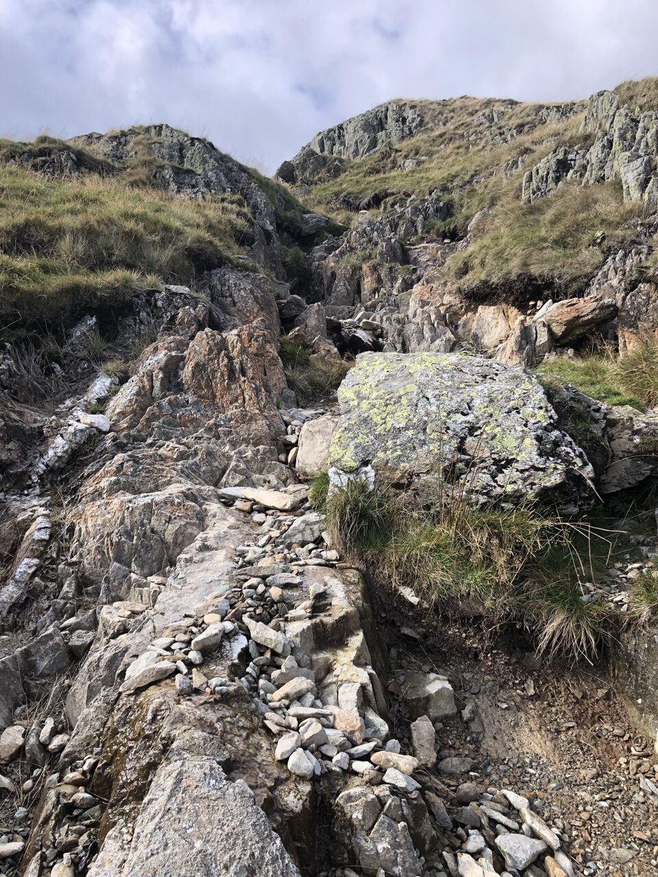
Somehow I feel like the hermit from Life of Brian should be popping out from behind the crags.
We were looking forward to getting to the reservoir, picturing reservoirs we have in the States that have paved paths that people would saunter around or go bike riding. Ha. How were we still this naive?
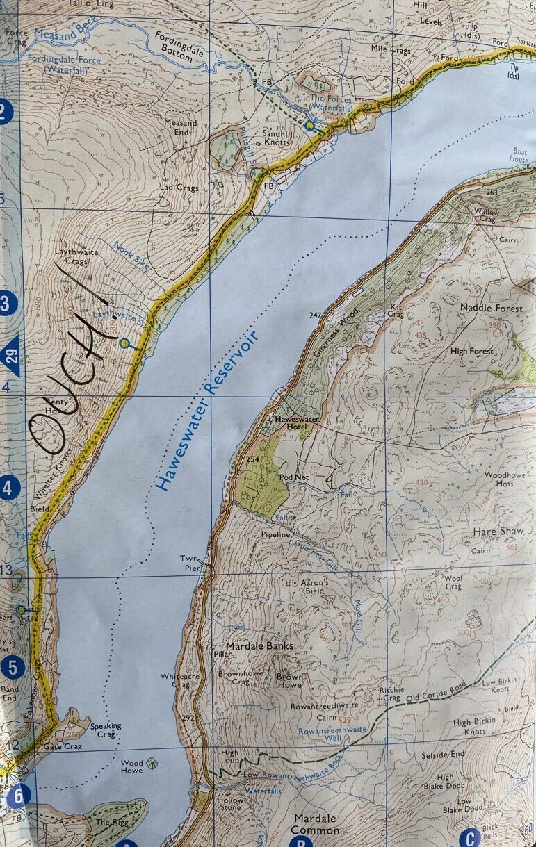
Once we got to the bottom, we saw that sheep pastures lined the reservoir all the way along. We didn’t realize this, but there is a path that branches off to the right that will take you over the reservoir and allow you to walk along on more even ground.
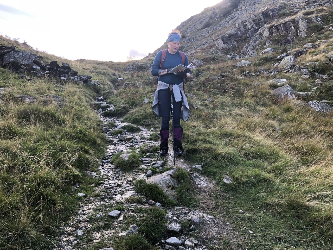
We paused at this point because Ron’s foot was screaming. He decided to take off his boots and wear his Olukai flats with thick socks to take the pressure off of his foot. We expected the rest of the trek to be easier than it turned out to be. Up and down, up and down, mud, flooded paths, overgrown fauna. We thought the five miles along the reservoir were going to be quick and painless. Instead, it was long and grueling. Let me put it this way, Ron took a quadrillion photos along the entire trek, but these five miles, there’s only one: a photo of me looking over the map, my hair expressing the effect the day had on us!
By the time we reached the end of the reservoir, we were still about five miles from Shap. The entire day was supposed to be 17 miles, but we had already walked 16. The list of distances between towns that I posted on my day 1 blog was highly inaccurate. By the time we crawled into Burnbanks, it was already 6 PM. If we continued, we wouldn’t get to the inn until after 8. We lost cell service at this point, but there was a phone booth so we decided to try to get a number for a local taxi. Unfortunately, the operator wasn’t even in England; she had no clue where Burnbanks was.
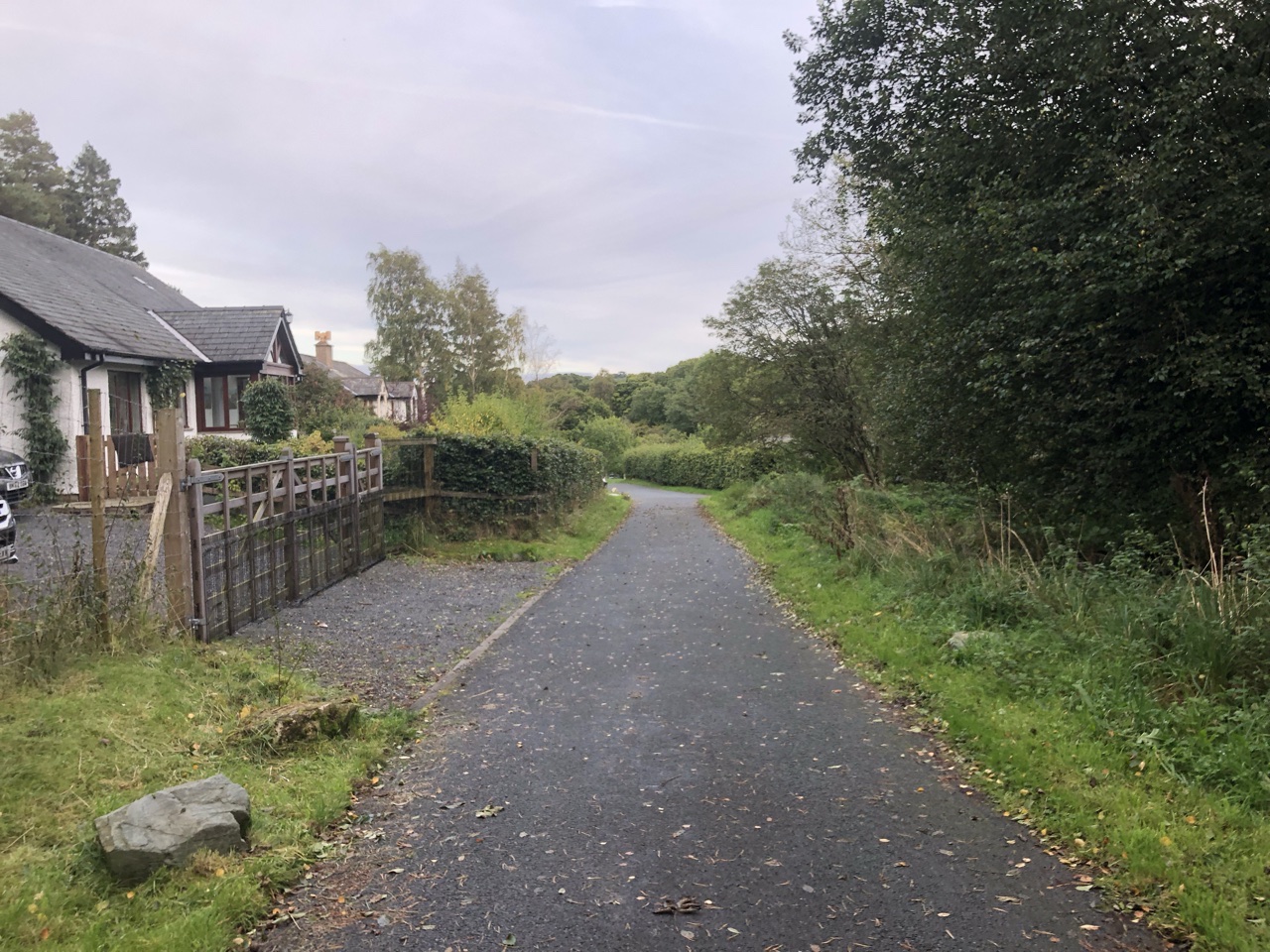
We started walking down the road and decided to knock on someone’s door. Turns out, people do this a lot. This gentleman called a taxi for us: “Martha! There’s hikers here again!” When Martha arrived, she told us that she put her number up in the booth, but people kept removing it. She also informed us that the telephone was being removed because of lack of use… go figure, you can’t even connect to an English operator!
The last five miles of countryside into Shap was quite picturesque, but, we hadn’t missed anything by not walking it. By the time we reached the inn a few minutes later, it was dark outside, and we were relieved to have skipped the last five miles. We needed a pint and a hot meal. The Lake District down, we would now spend 2 days transitioning toward the Yorkshire Dales.
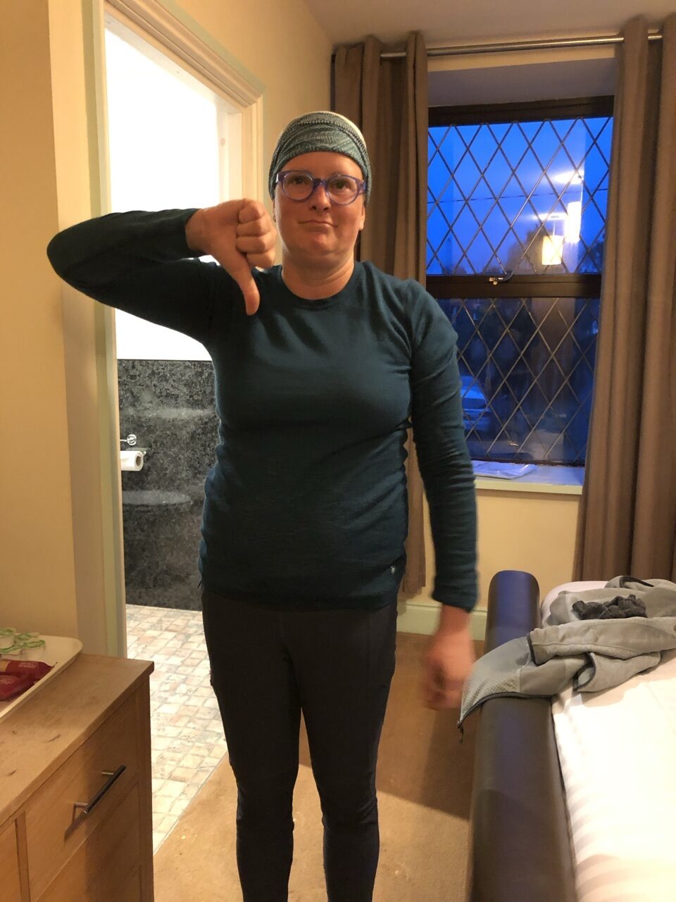
Join me tomorrow for another interesting day…
Missed any days? Check out my Coast to Coast blog for the rest of our two week adventure across England.
