The smell of clover is something I always associate with the English countryside. I was driving with my windows down today and caught a strong whiff of clover, and it gave me such a warm, homey feel.
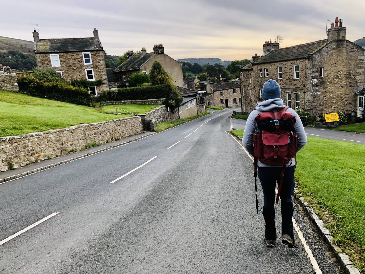
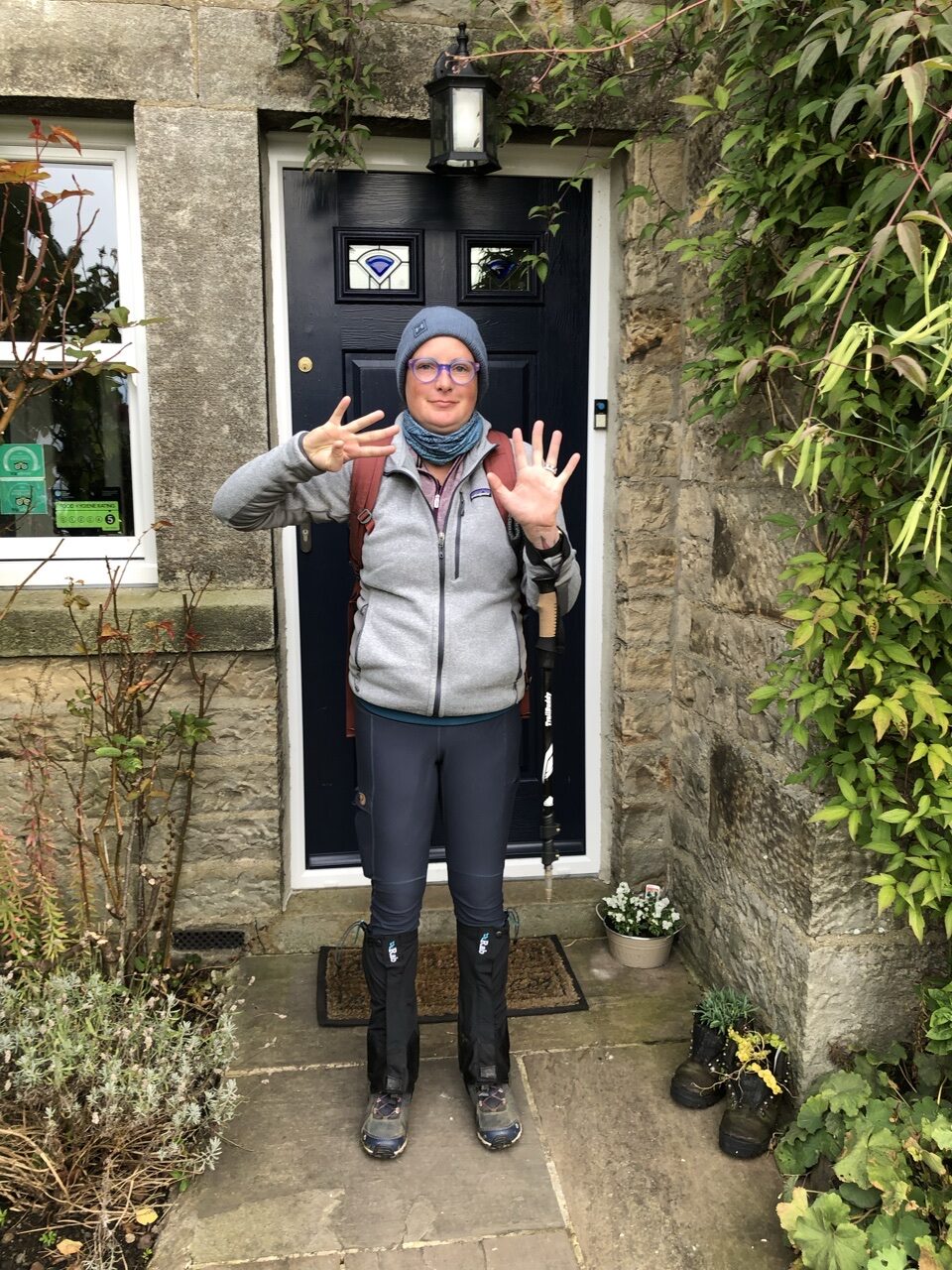
Day 9 was overcast but dry. It was our final day in the Dales with the path leading us northeast and away from the River Swale, heading toward Richmond. We made our way our of Reeth, walking on the road past the beautiful brick and stone homes. We took one last look at the river and parted ways.
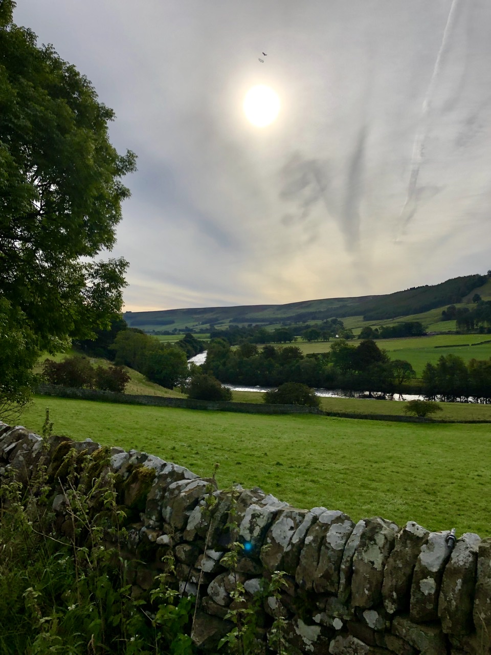
Walking through a pasture, the path ended at a country road running north and south. Straight before us ran another road heading due east. There was a right of way that split off from the road, but we weren’t sure, looking at the map, whether we should stick to the road or deviate off onto the path. We decided to stick to the road, which cut through a small section of woods.
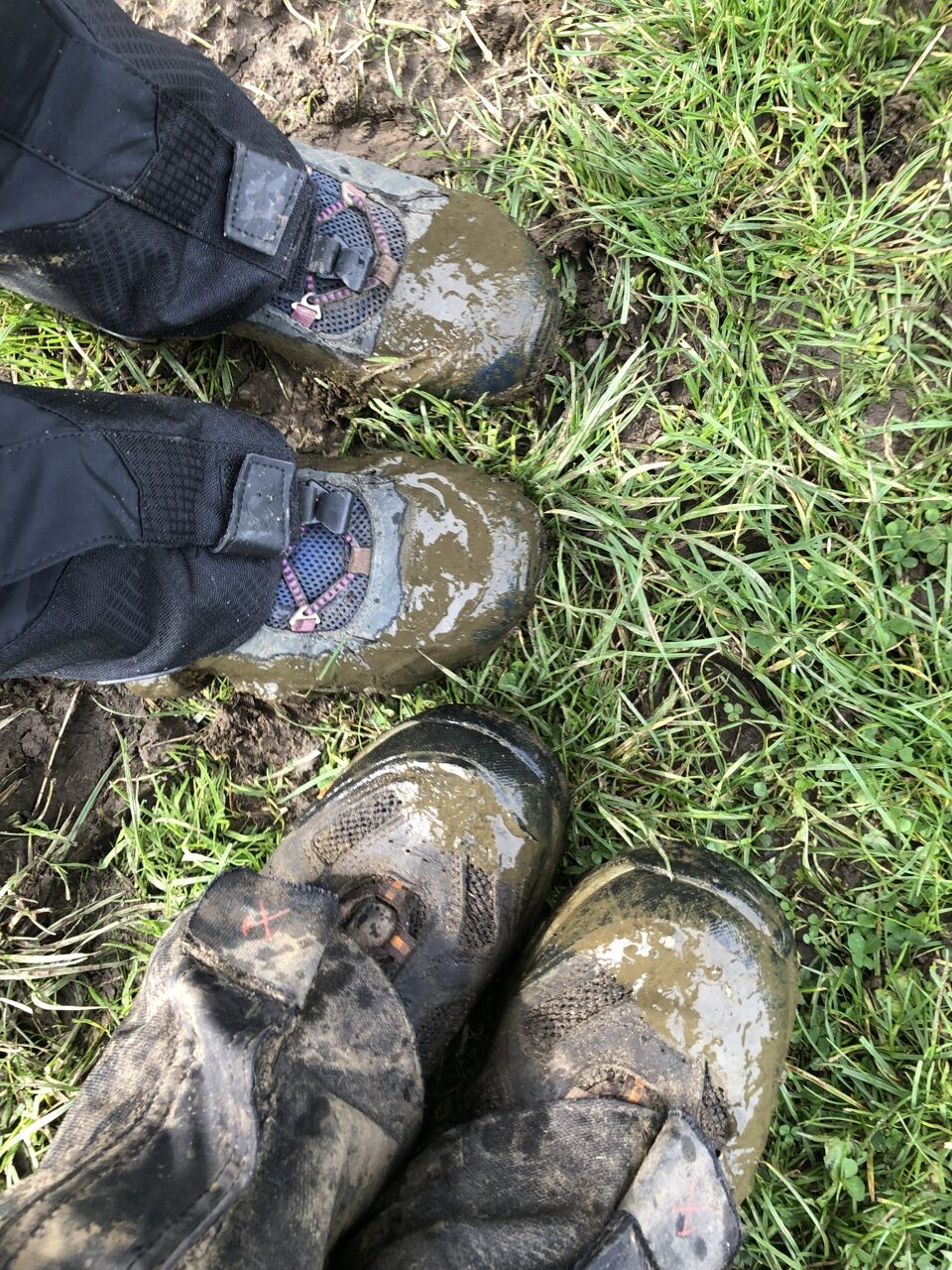
Rather than continue to follow the road, we stayed straight and cut through a working farm, walking through…. questionable “mud.”
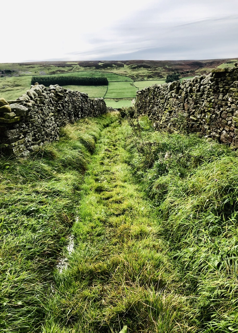
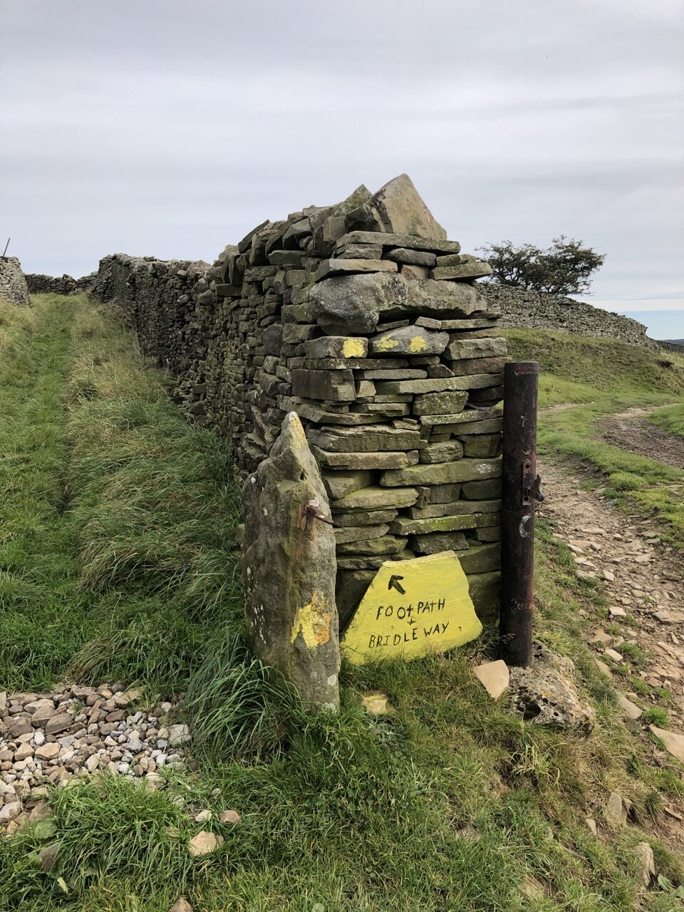
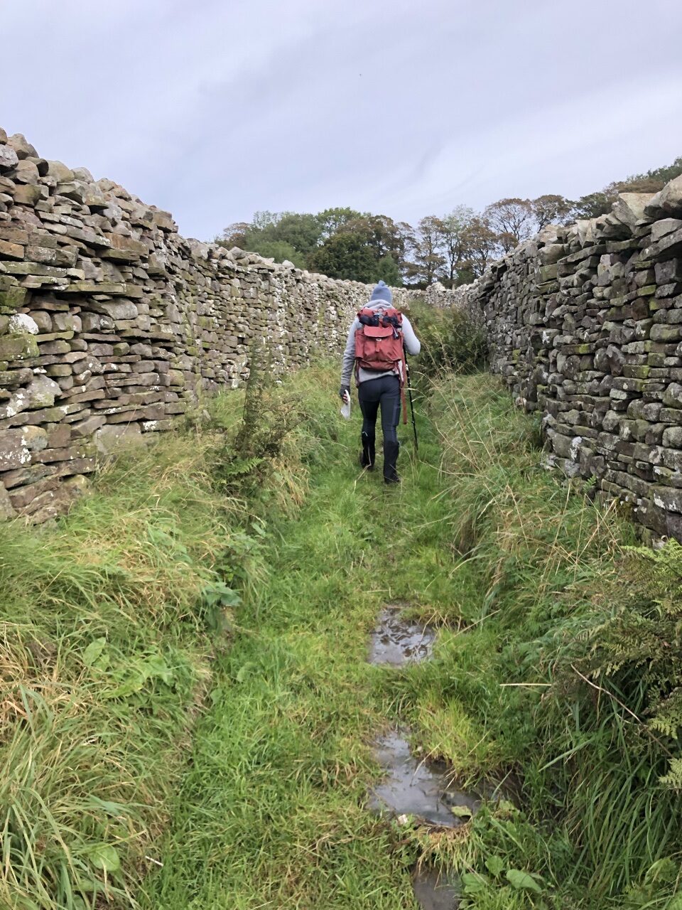
The farm road curved off at a sign that pointed to a footpath that cut its way up into Marrick. Either side of us, pasture walls rose to our heads and we walked on soft, spongy grass.
When we entered Marrick, we saw two other hikers that we had seen at the inn in Orton. We stopped to say hello, and behind us, the Canadian couple walked up. We all chatted a moment with the Canadian couple setting off in front of us and the other couple staying behind. The Canadian couple was fast! They were out of site in the blink of an eye, and once again, we were alone.
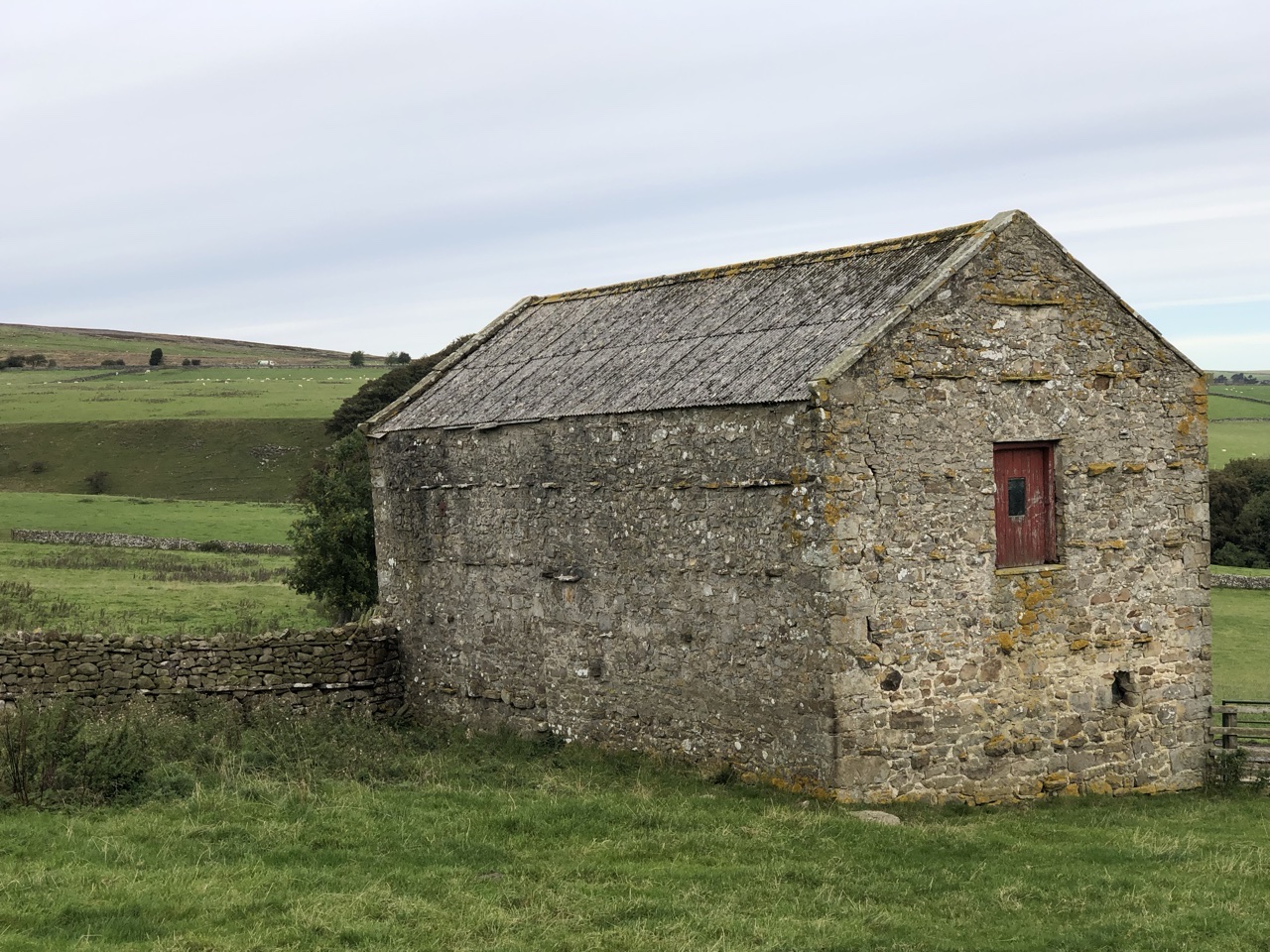
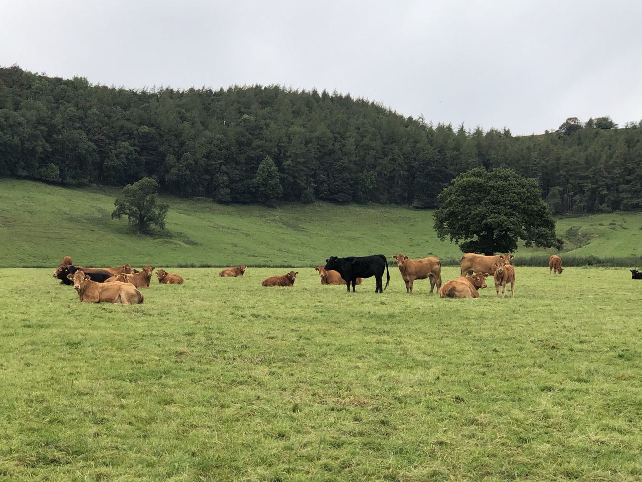
Leaving Marrick, we entered pastures, mostly filled with cows, but occasionally sheep. Far in front of us, the pastures rolled along green hills. Our hike was going to be a day full of ups and downs. To our right, we watched farmers drive up to a cow to inspect her. We marveled at the fearlessness, as we were properly hesitant of cows after all the warnings from our B&B hosts.
While we were walking over the hills, we kept hearing gun fire in the distance. Having seen the gamekeepers in Muker, we learned that many gamekeepers were hunting grouse. But, this was constant gun fire rattling off in the distance. At one point a fighter jet flew over, so we wondered if perhaps there was an army base in the area. The next day, we spoke to a gentlemen that told us that was exactly what we had been hearing.
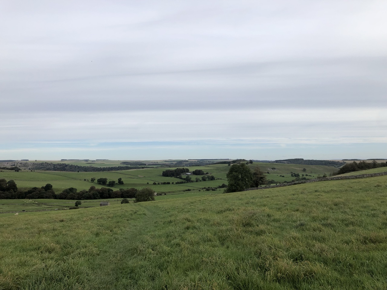
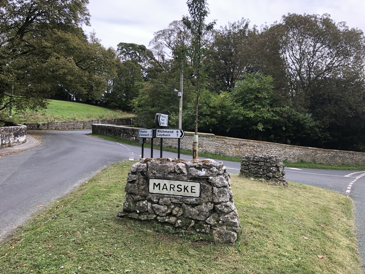
The path led us over Ellers Beck, with a small bridge guiding us across. Shortly after, the path led us back down to the road, which guided us down into Marske. We passed a group of women who were setting off for a walk in the opposite direction.
By the Marske Beck, we stopped for a rest and to eat the sausage rolls our B&B host had provided us for lunch. The stream rolling by next to us was a soothing melody that lolled our aching bodies. This was the only time we actually stopped to eat lunch during our entire two week trek.
We mistakenly took the road to the right, catching our mistake about a quarter of a mile later. We were walking next to this huge estate, with a giant pond and a cultivated garden. As we skirted around it, a large wall rose along its left side, will little pockets for staff entrances and gardener supplies.
The path picked up again with a small window in hedgerow to let us enter off of the road. Several of the gates between pastures were flooded and muddy, forcing us to try to pick our way along without drenching our feet. It was nice having dry feet for a few days in a row!
Above us rose a tall cliff, and we could see on our maps that we were approaching a hard elevation increase. The pasture took us down into a wooded area, exiting the final pasture and crossing a stream. The path weaved back and forth, bringing us steeply up, up, up.
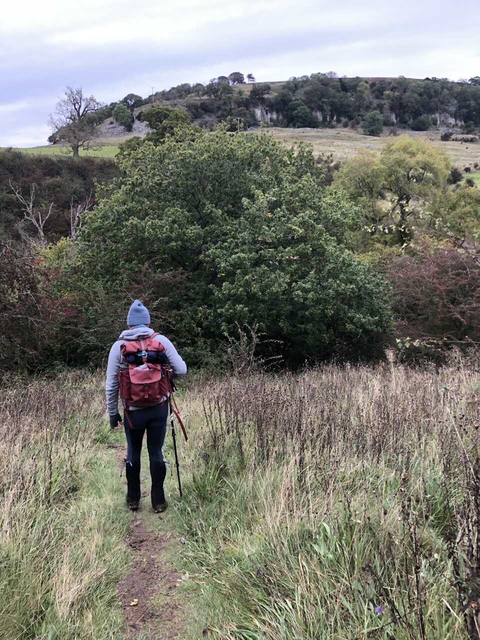
As we made it to the top, we looked back at the rolling pastures behind us and the many miles we had already traversed that day. Reeth was not visible, hiding behind the rolling hills.
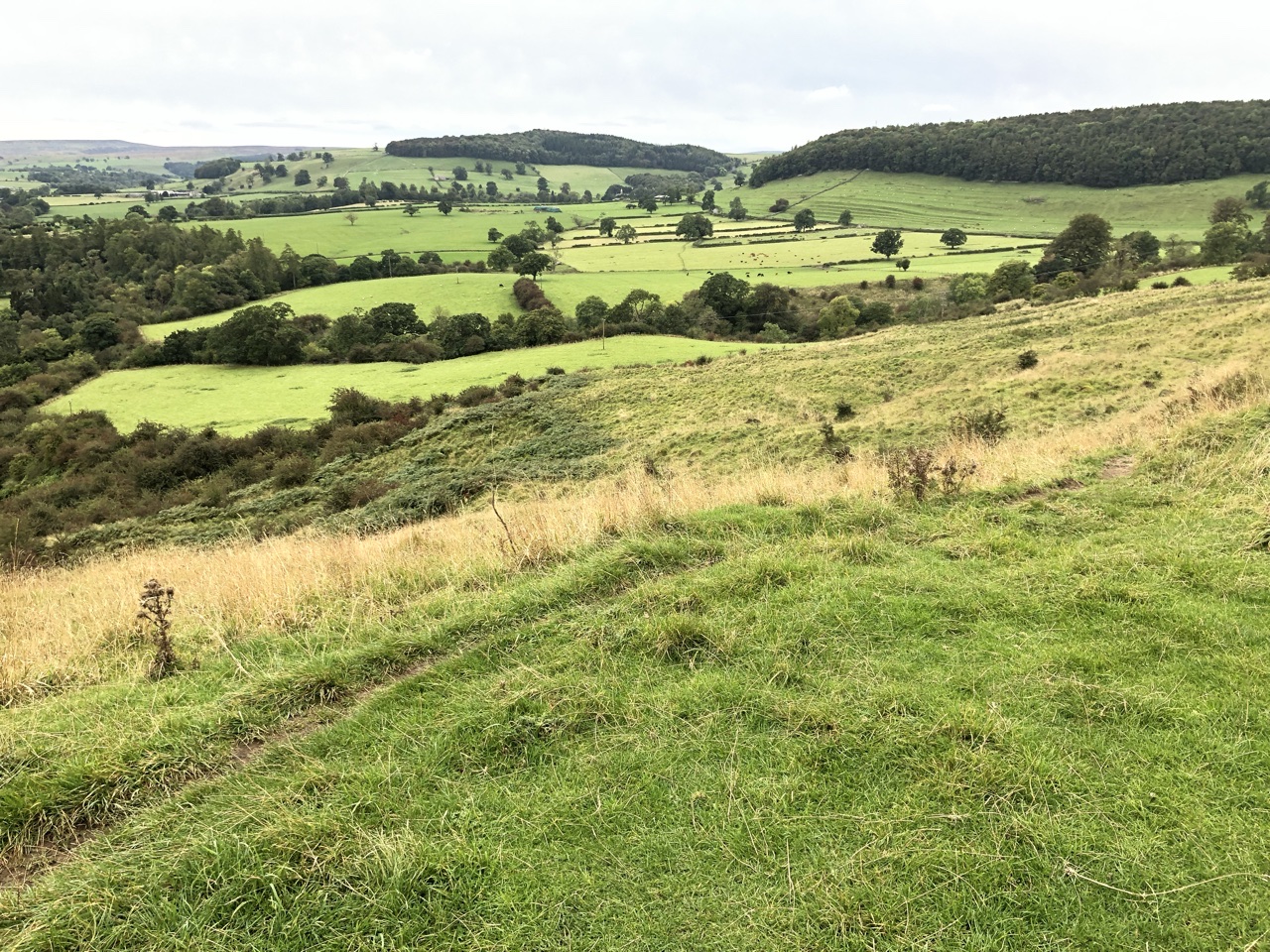
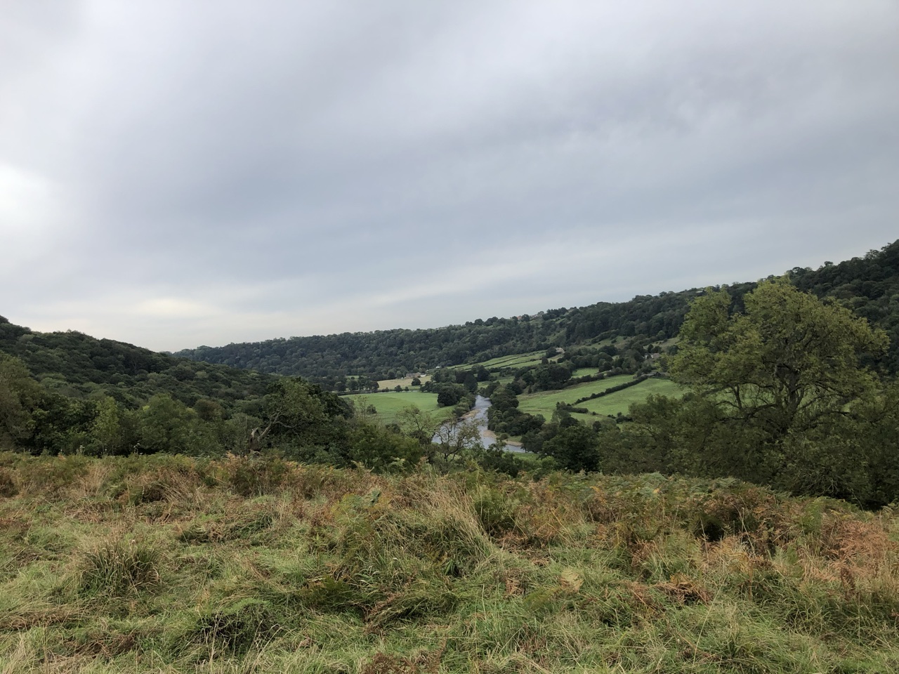
We continued along the path, with the cliff still rising to our left. We entered back into pastures, with the path weaving high above the River Swale that had flowed back north, passing through Richmond.
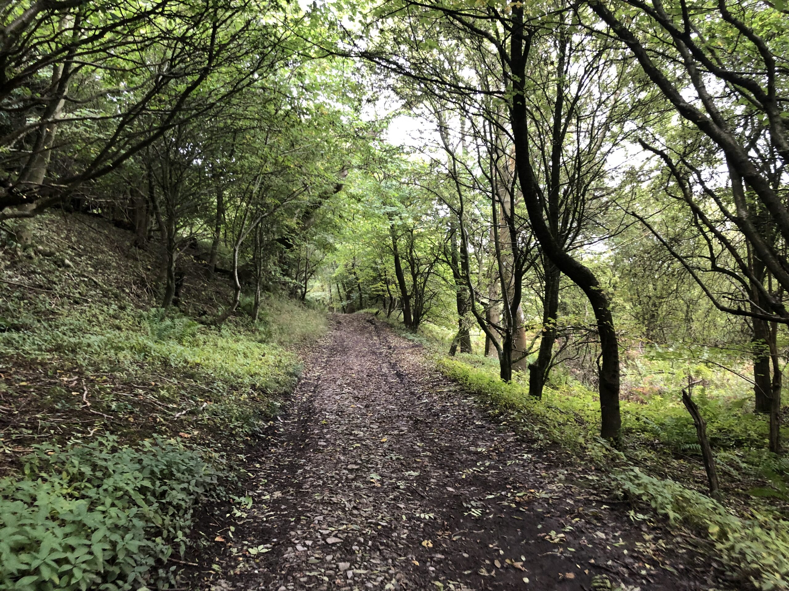
We entered into Whitecliffe Wood, with a soft dirt path sprinkled in leaves laid out before us. The trees created a canopy over our heads, as we walked through the second to last mystical forest of our trek across England. The forest exited us out on to a rutted bridleway.
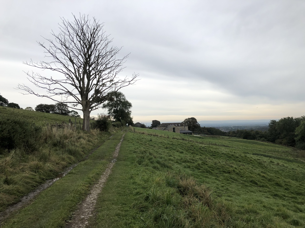
As we approached the outskirts of Richmond, an old woman walking her two golden retrievers off leash called to let us know they were friendly. She stopped to talk to us and was surprised we weren’t afraid of her dogs, as we bent to give them love. She told us each year C2C hikers were always afraid of her dogs. She was probably the friendliest person we encountered the entire trip, and everyone was super friendly!
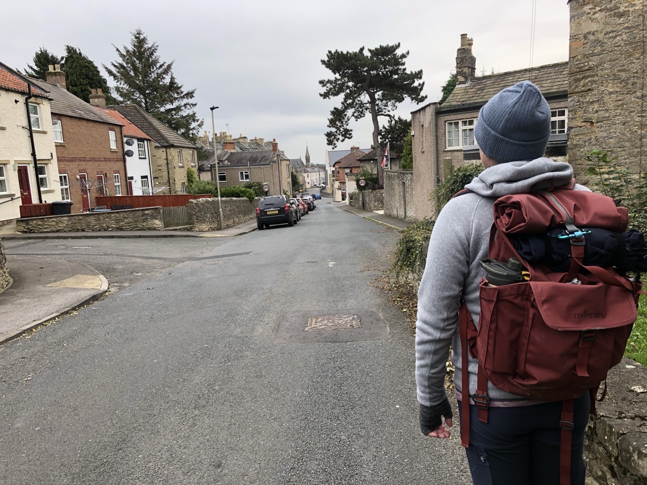
Parting ways, the path ended on a road that would lead us straight to our B&B. We walked down the side walks, looking at the homes of Richmond, brick homes and white washed homes, with well-manicured small yards. Rather than head straight to the B&B, we detoured off and found a pub with backyard garden and grabbed a pint.
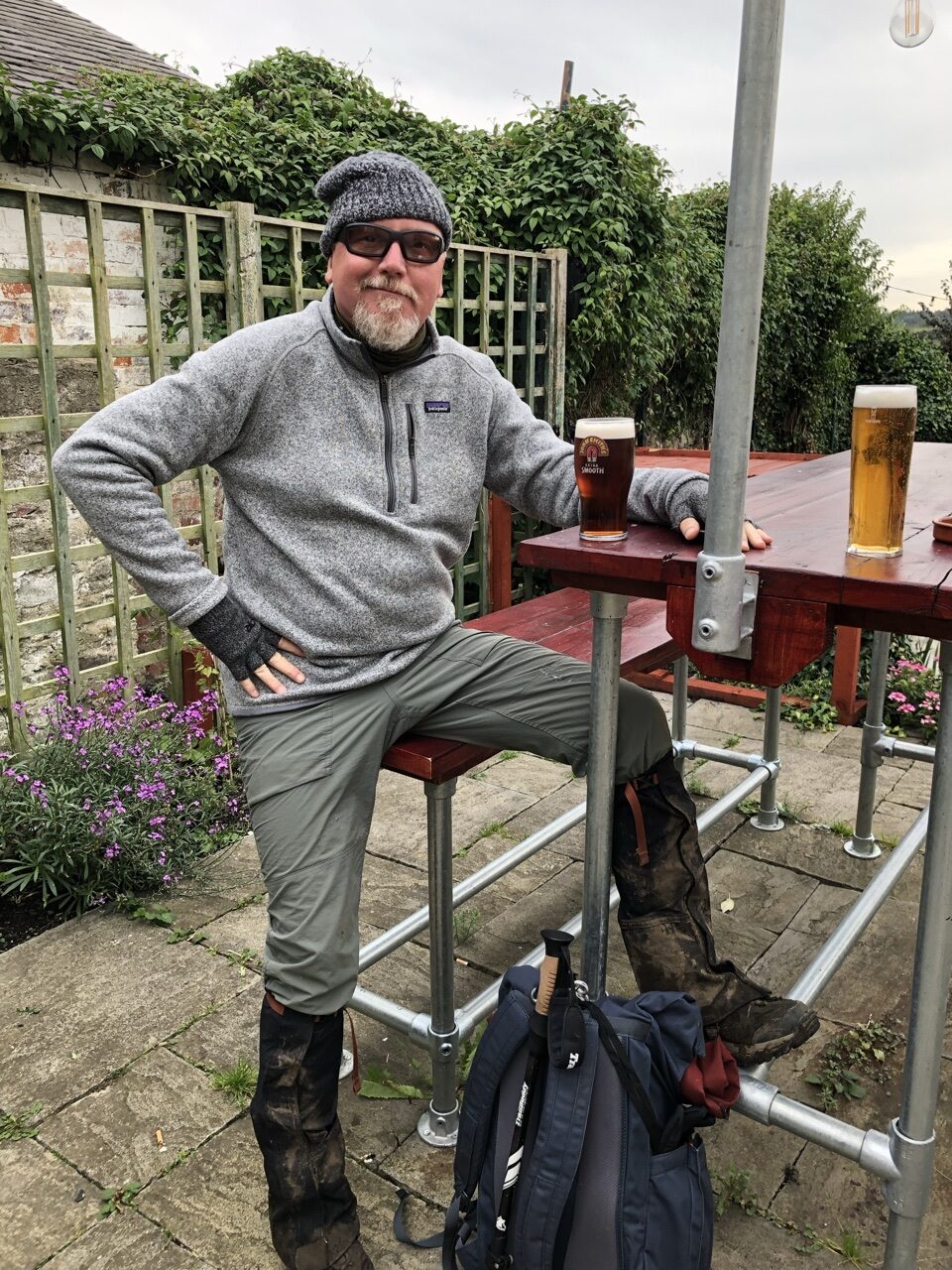
The next two days were transition days heading toward the Yorkshire Moors and the last national park. We had no idea what was in store and couldn’t quite picture what the moors would look like. We still had almost 75 more miles to traverse, but we congratulated ourselves for already making it 120 miles.
Til tomorrow 👋🏻
Missed any days? Check out my Coast to Coast blog for the rest of our two week adventure across England.
