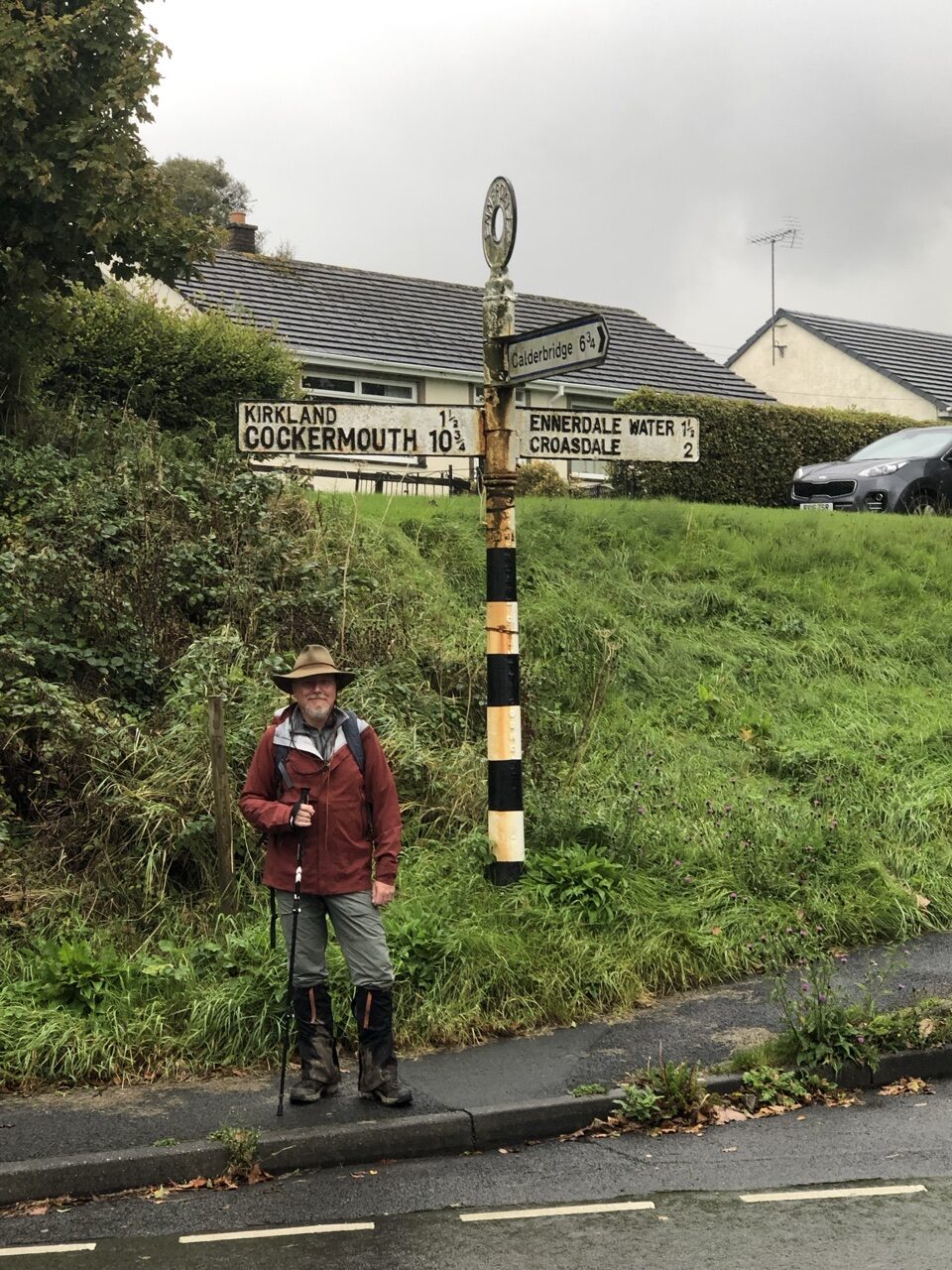
From day one, we started the habit of taking a morning picture before setting off, and an evening picture at our arrival. It was a nice gauge to see how our appearance and energy transpired over the course of the day. And, it was a neat way to break up our pictures so we could distinguish between the days. Looking at a mass of photos, it’s easy to ask, wait, did that happen on day 3 or day 4, or hell, day 12??? The photos of me, I used my hands to denote which specific day we were on.
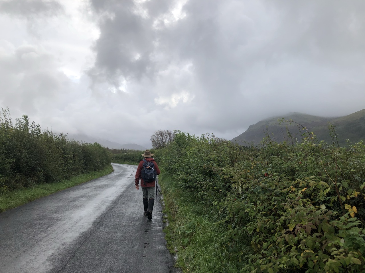
The Lake District was, by far, the biggest adventure for reasons you’ll find out as you join me over the next three days. I am not saying these were our bests days. Some were definitely up there, but there are amazing days throughout our two week hike. I’m just going to say that over our three day hike through the Lake District, we had very unique adventures that will not necessarily occur for everyone who takes on the Coast to Coast.
So, I mentioned yesterday that you should talk to your B&B host or inn host for any tidbits or advice on the upcoming trek. For our second day, this proved very valuable, as the marked trail that wraps south around the lake was flooded. All hikers were being directed to take the path north of the lake.
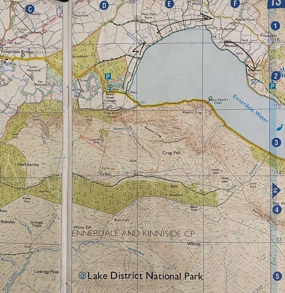
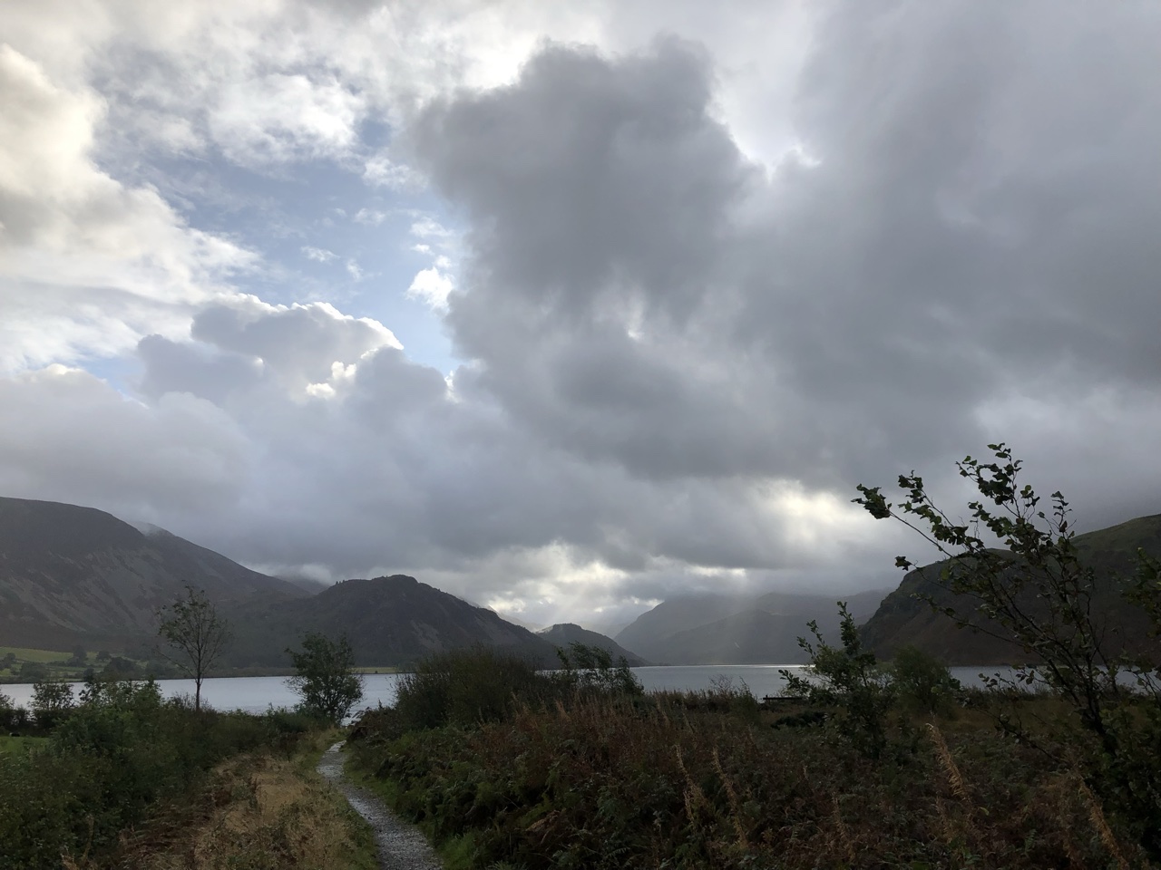
Ennerdale Bridge is a small village. Leaving the inn, we passed a small school before heading toward Ennerdale Water on small country roads. Coming up to the lake, the sun was trying to break out of the clouds, casting a stunning view of the lake and mountains of the Lake District.
The weather was interesting over our two week trek. Almost consistently, every other day was dry and often sunny, while every other day besides those were all day drizzle or heavy rain. Although much of the second day was overcast, it was dry all day.
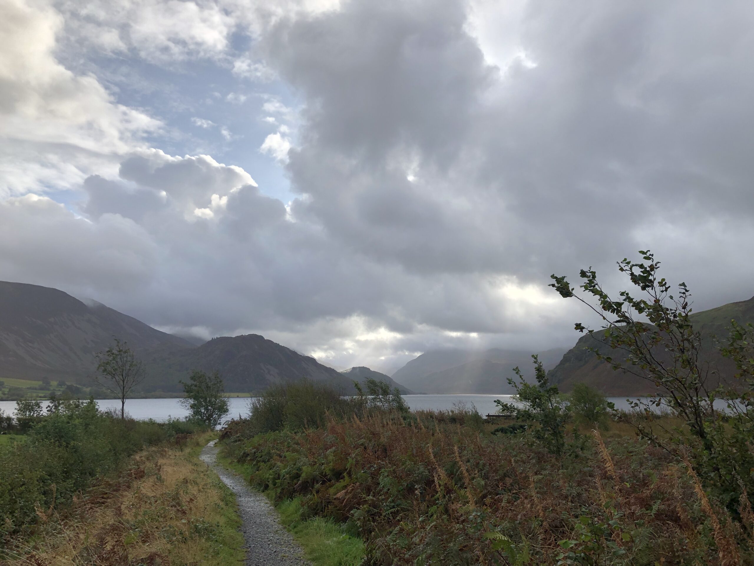
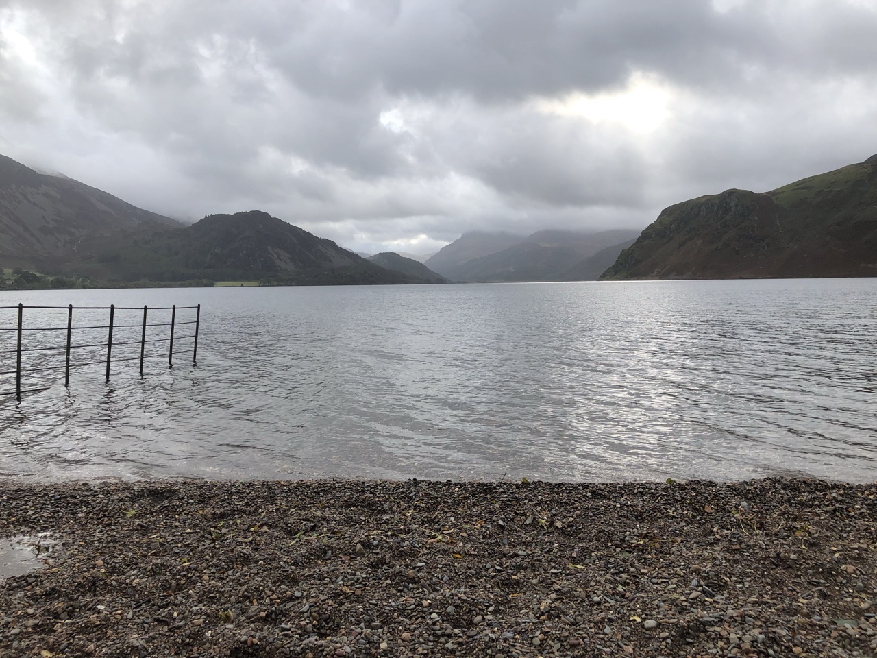
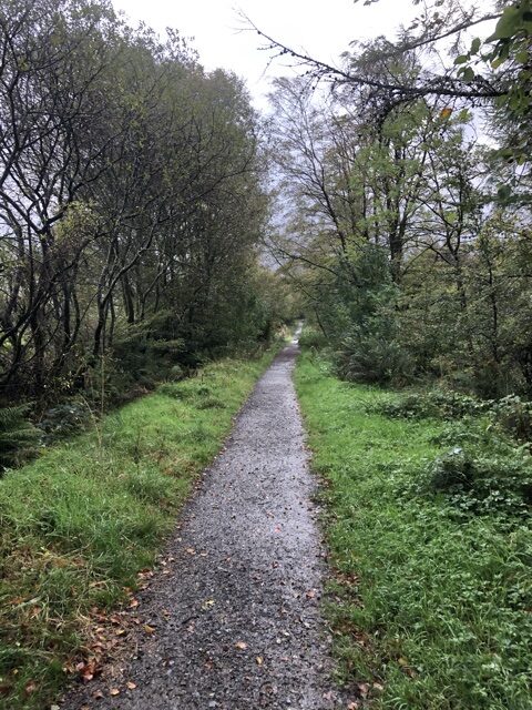
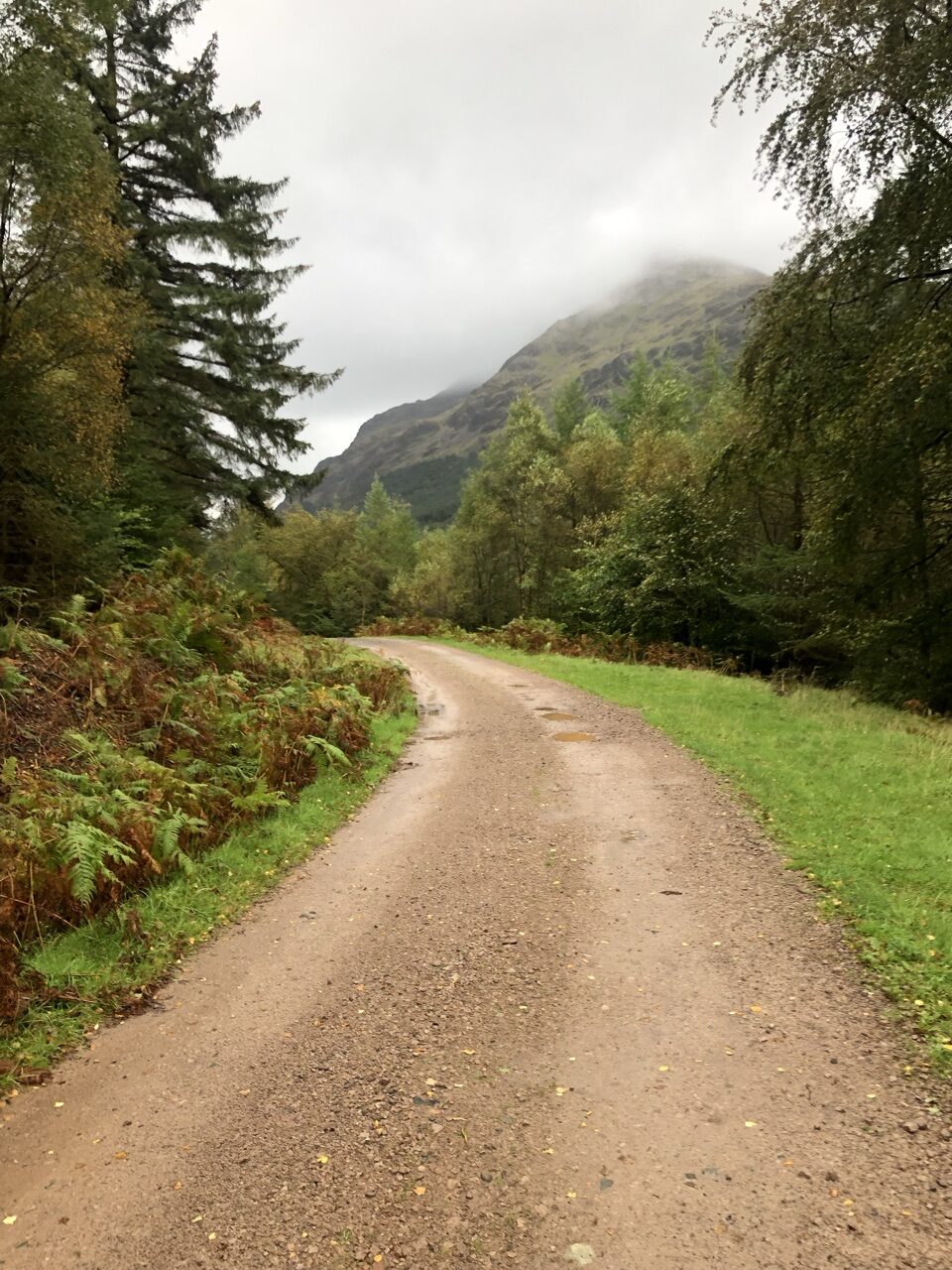
The first half of this hike was absolutely stunning. Hugging Ennerdale Water, the terrain was a mix between heather and woods. These woods didn’t even compare to the previous day. This woodland was stunning and romantic, mysterious and mythical. You could see where authors like Tolkien created new worlds when places like this leave so much to the imagination. These woods were called Ennerdale Forest… doesn’t that sound mythical and romantic?
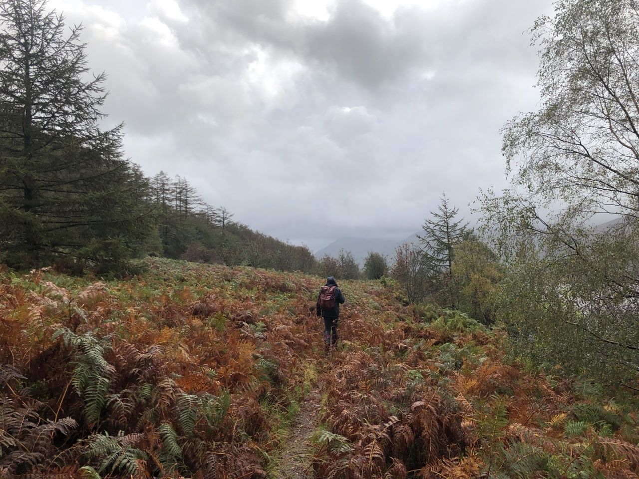
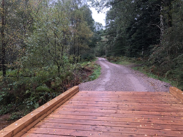
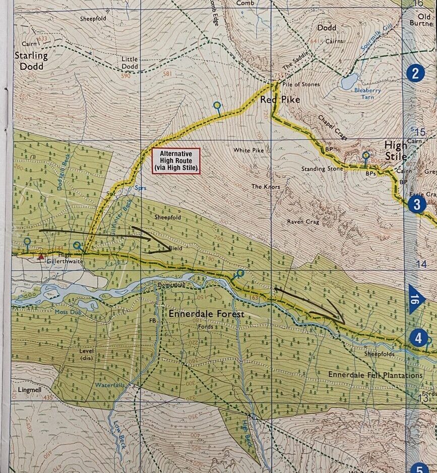
There is a split in the path that we actually missed, but there is an “alternate” option to break off to the left and take the “High Route.” As I said, we didn’t even notice the break off. We wouldn’t have taken it anyway because the lower path took us past Black Sail Hut, a hostel located far from any roadway, tucked quaintly in a valley. Taking the High Route would have given stunning views, I’m sure, but we didn’t feel like we missed out on anything.
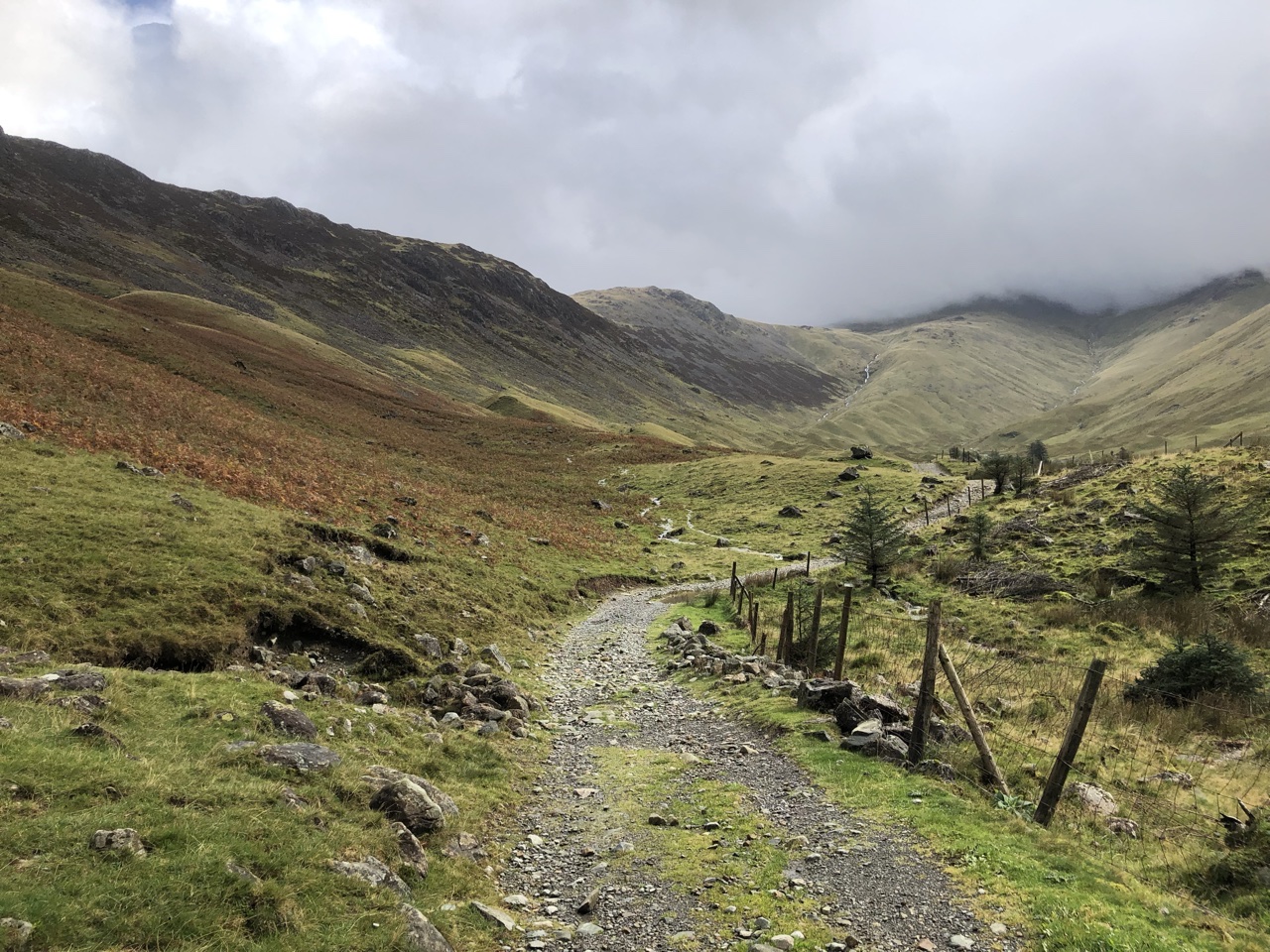
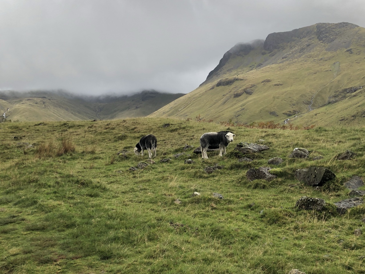
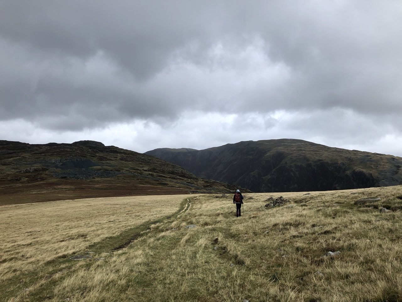
After breaking out from the woods, the land felt more like the Scottish Highlands. Large mountains wrapped around the valley we walked through, with rugged land and low hanging clouds. As is common throughout England, even the parks are used by farmers for sheep grazing. Farmers mark the sheep with a specific color code to differentiate the sheep. Throughout this rugged land, sheep grazed, popping their heads up to stare at us as we trekked by, wary and tentative.
After several miles, we could see Black Sail Hut in the distance. When we finally arrived, we ducked inside to sit down and eat lunch. Inside, the caretaker of the hostel was seated, talking to two young men. A group of young adults had rented the hostel to spend a week hiking the area. One lad sat strumming a guitar. They were all so welcoming and friendly.
I asked if they would mind if I took my boots off (I wanted to change my socks), and they shouted, “Leave your boots on! They’re fine!” You see, my boots were muddy, and they were intimating that my muddy boots were fine and welcome amongst them… we were one of them. Bonded by hiking. Bonded by adventure. When I explained that I wanted to change my socks, they said, “Oh! Of course! Not a problem!” The camaraderie instantly formed between hikers of all ilks was a tremendous feeling, one that’s leaving my heart bursting with the fond memories.
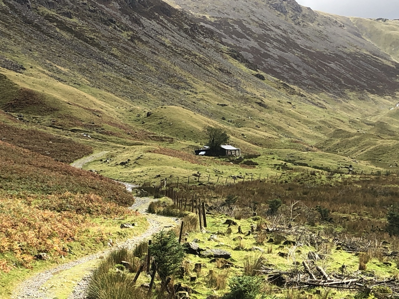
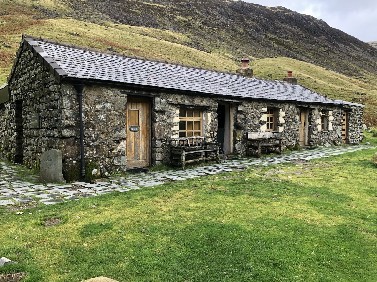
Before we left for holiday in England, we had researched the hike. There was one note that the path after Black Sail was hard to miss. Boy were they not kidding. Thankfully the caretaker was present, and, without asking, he brought us outside and pointed to where the correct path was. When you step outside of the hostel and look down the path, you see two paths diverging. These paths were similar to what we had been walking most of the day… wide enough for several people to walk side by side.
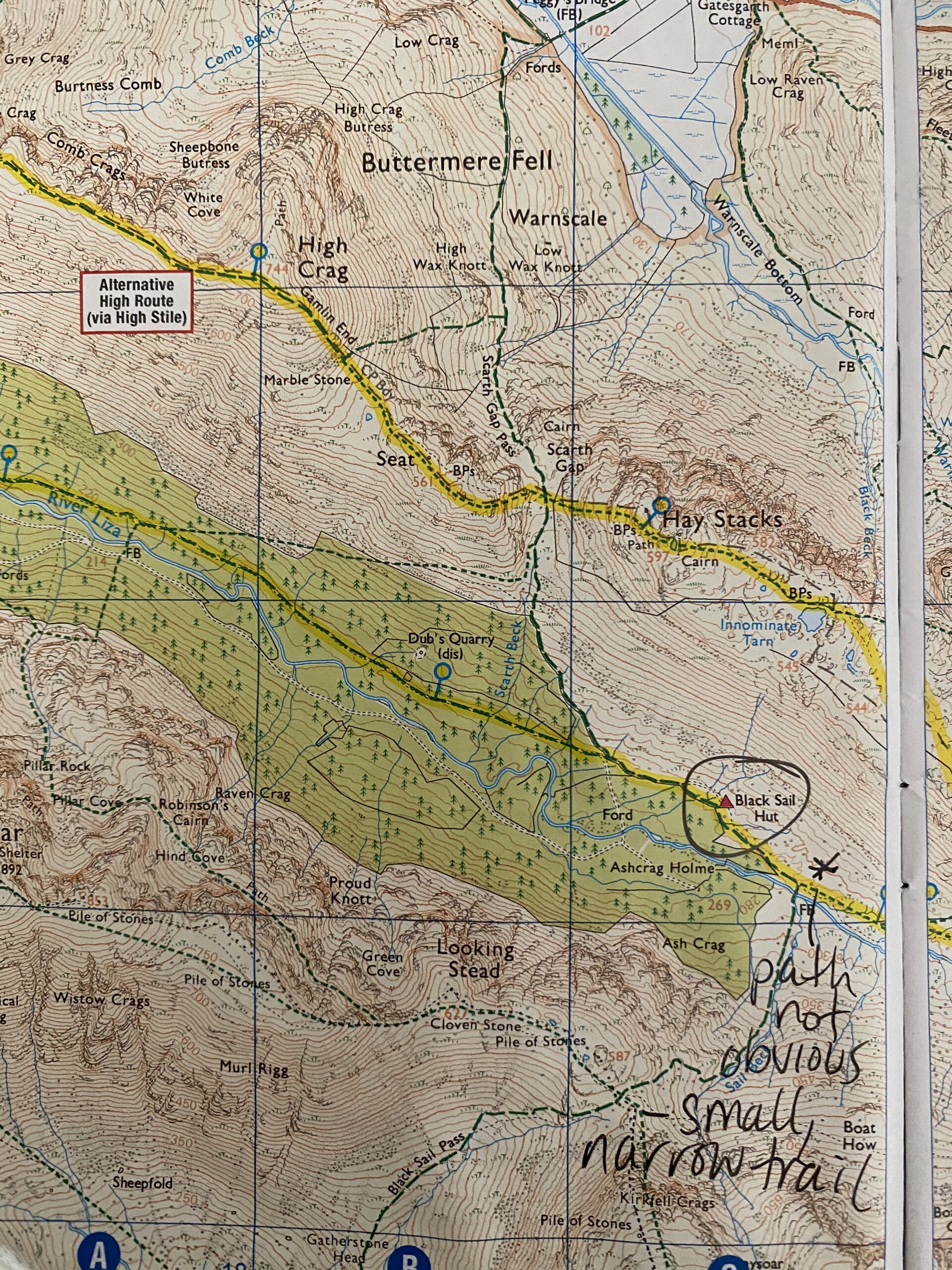
These were not the paths we were to follow, and the caretaker told us many C2C’ers inadvertently took the wrong path and had to be rescued when they became lost. The path we were to take was almost indistinguishable compared to the other paths. And as I said yesterday, the Coast to Coast route is really well marked… until it isn’t. This break off was not well-marked, so it was understandable how many people took the wrong turn… we probably would have too if the caretaker hadn’t pointed us in the right direction.
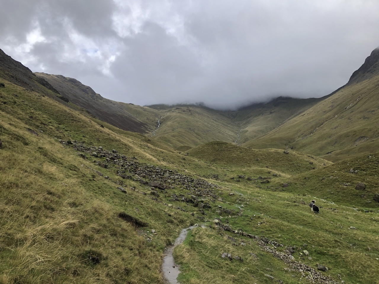
After leaving the hostel, we slowly started weaving up the mountain. We had to traverse a stream, which I laugh so hard at now because if we knew what was coming the next day, we would have sailed over that stream! Instead, we were slow and cautious, not wanting to get our boots wet.
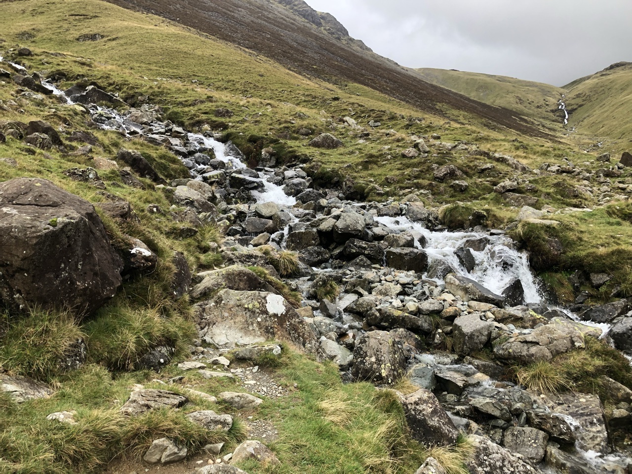
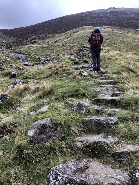
After crossing the stream, we approached the first serious elevation rise, which was carved up the side of the mountain with a series of large rock slabs. Like many other instances we encountered later in the hike, we were slowly trudging up these rocks when this older man with a long shaggy beard comes running up the mountain, passing us and racing along the path we were soon to follow. By the time we reached the top, he was already out of sight.
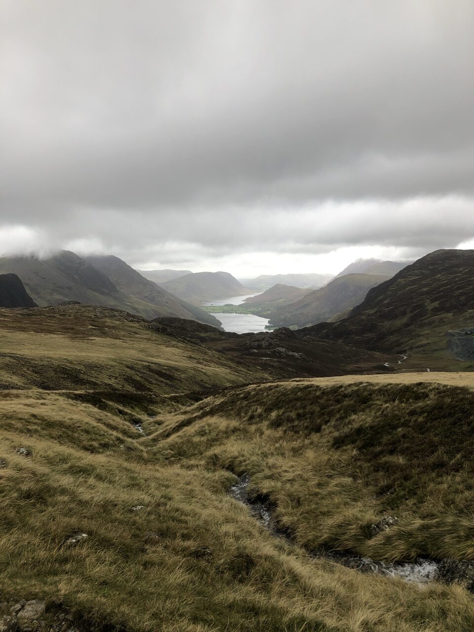
Finally reaching the top, we were rewarded with stunning views of much of the mountain range as well as Buttermere lake off in the distance.
However, once again, the path wasn’t totally clear. In the valley, we hadn’t had cell service, but on top of the mountain, we finally did. This allowed us to pull up Google Maps and orient ourselves with the physical map. We had tried buying a GPS when we stopped in Glasgow prior to the hike, but we couldn’t get the needed maps to download. If you can get a GPS with the Wainswright route, it would be invaluable at times like this. Otherwise, hope you have cell service or someone to point you in the right direction. There was no one in sight when we reached the top of the mountain, but we figured it out between the two of us. Working as a team is the most important thing.
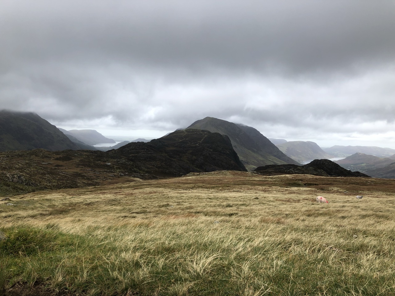
The rest of the hike was easy, hugging the side of several mountains. We finally met up with a rocky pathway, which eventually led us past a slate mine and down, down, down a somewhat steep incline. At the end of the path, we came upon a large building and parking lot. I can only presume it was connected with the mining operation, but I can’t be sure.
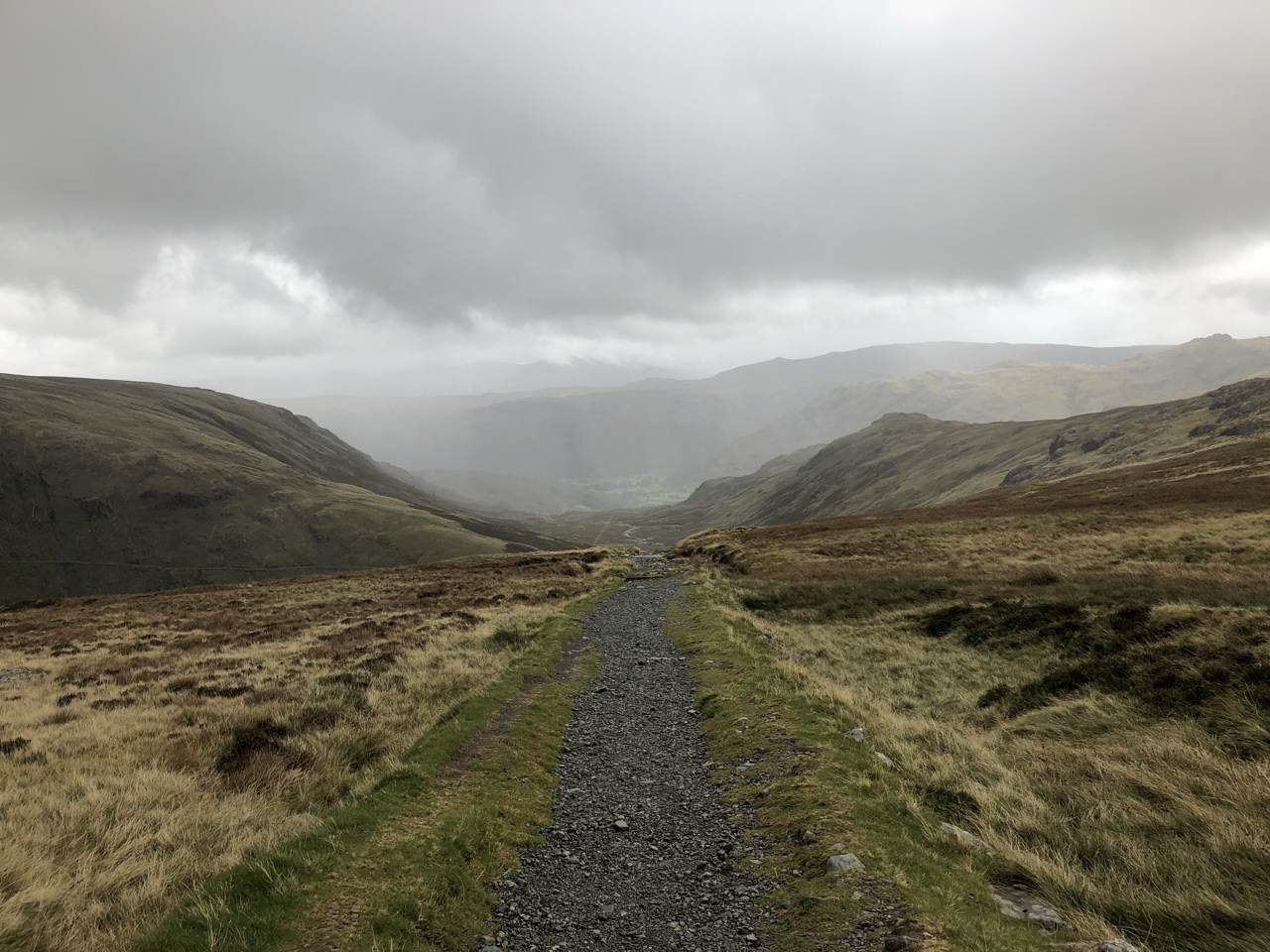
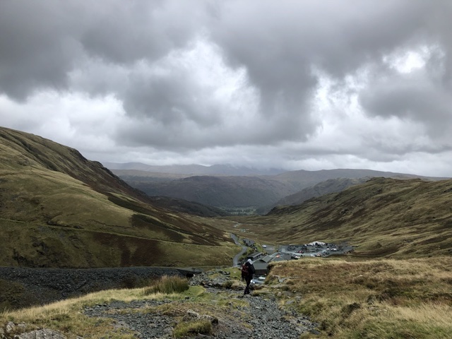
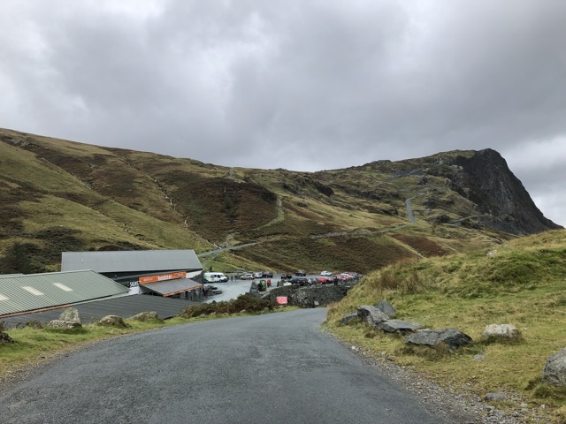
Crossing the road, we went down a footpath that follows the road, which was long and winding (🎶 🎵). Following the footpath is an absolute must because the road does not provide enough visibility for what is around the corner and the cars went pretty fast down it.
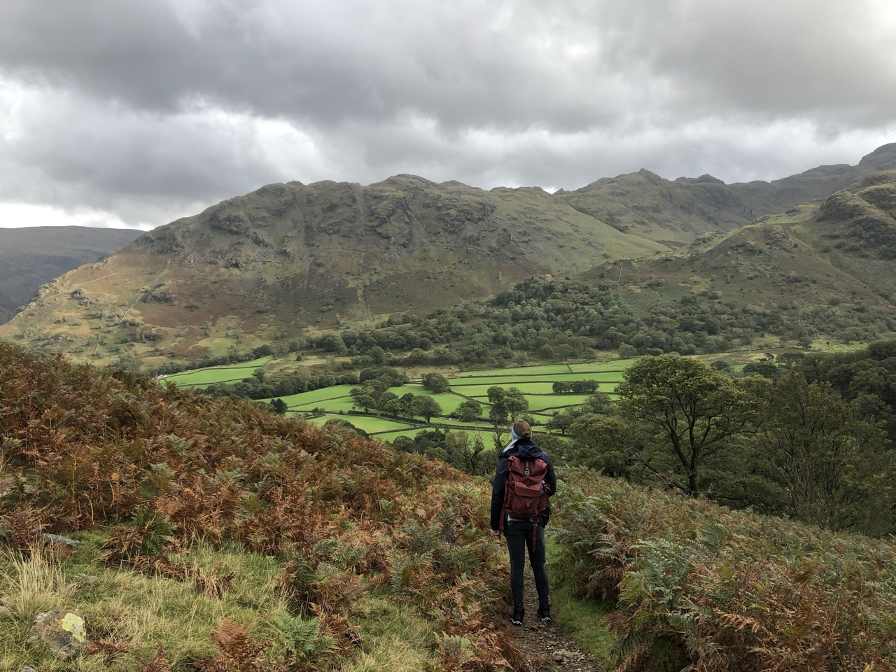
Most hikers were walking to Rosthwaite, while we chose to walk to Stonethwaite (although you could stop earlier in Seatoller, but you then need to find a B&B that provides dinner). The C2C path goes up to Rosthwaite and then turns back south toward Stonethwaite. By staying in Stonethwaite, we took off about two miles of extra hiking between day two and day three. Stonethwaite places you right across the river from the trail, so it was super easy to pick it back up. The biggest difference I could tell between those two villages, besides what I just mentioned, is accommodation. Rosthwaite listed many more options for accommodations and for dinner. Stonethwaite is a very small hamlet with one inn, and hence, one place to eat.
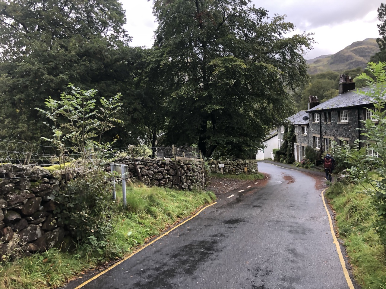
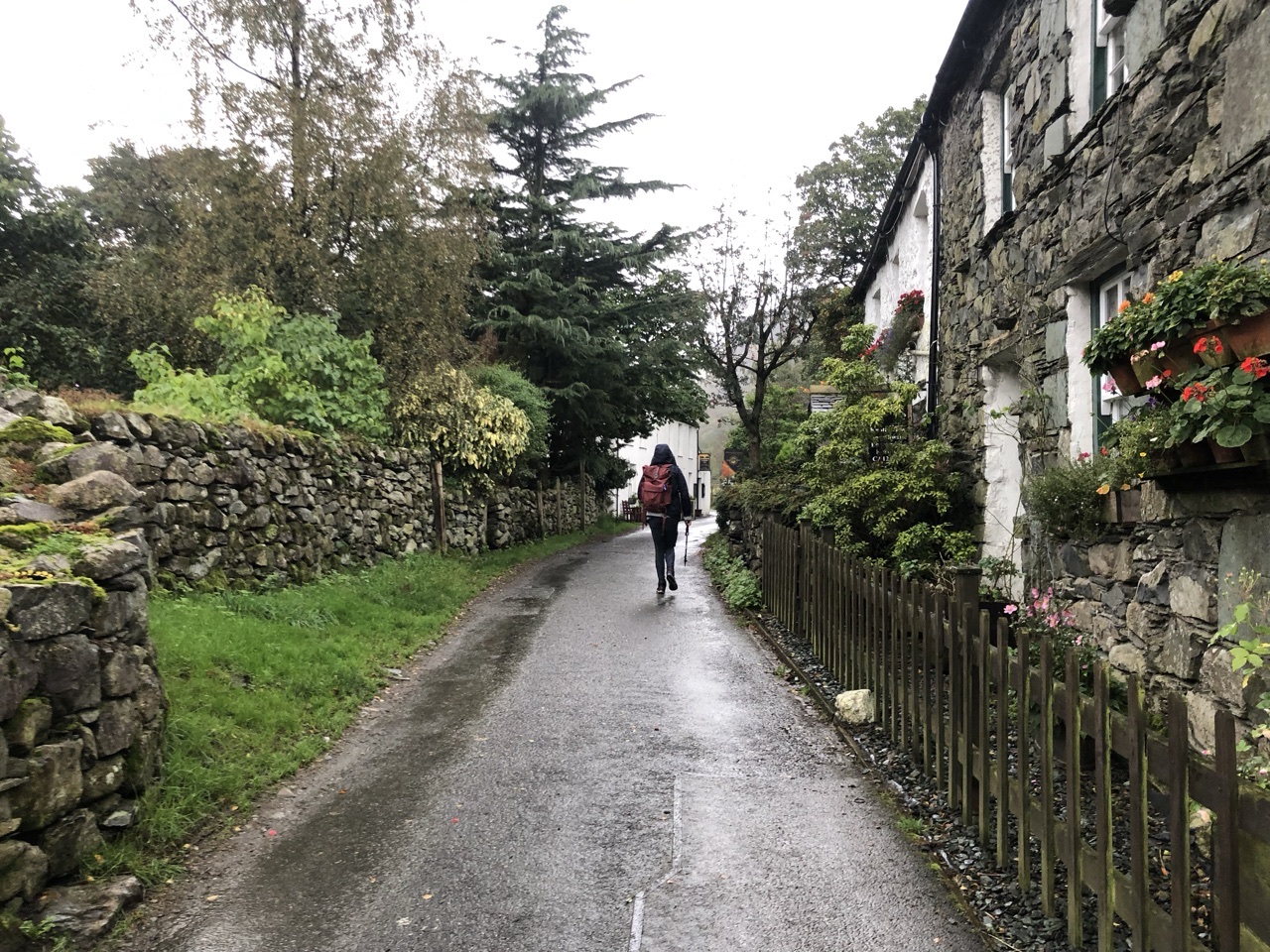
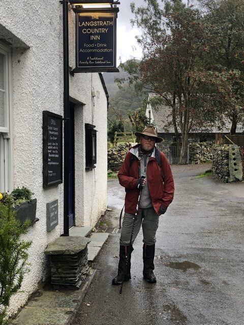
The footpath we were on was leading us to Rosthwaite, so we had to navigate our way back down to the road into Seatoller. From there it was a couple of miles to Stonethwaite, a charming little hamlet. We stayed at Langstrath County Inn. They had a drying room for our jackets and boots. The rooms were very nice, the employees very friendly and accommodating, and the food was splendid. It started to rain in the evening, which turned out to make our next day quite the adventure.
Join me tomorrow for what will be the most… interesting day of our two week hike.
TIPS:
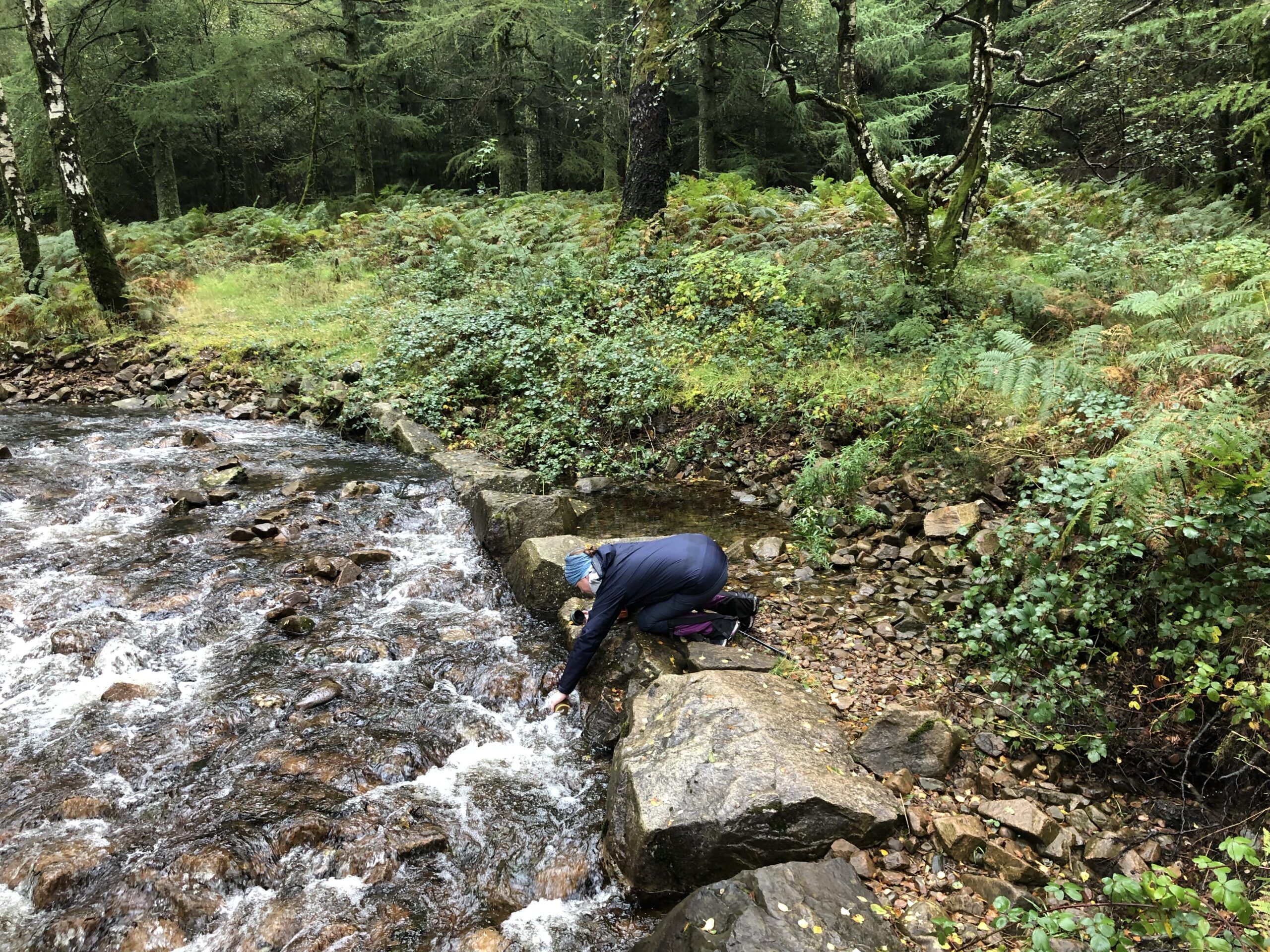
Yesterday I mentioned the using the GRAYL Geopress to filter water. Here’s a pic of me grabbing some water as we neared the end of Ennerdale Water…
Clothing. We massively overpacked. Many places offer laundry, so it’s easier to carry less and have periodic laundry service. But honestly, walking all day, you’re going to stink, wash your clothes when you can’t stand yourself anymore.
I was really comfortable in one particular pair of hiking leggings by Fjall Raven. I wore those almost everyday. I would recommend 2 pairs of hiking pants and one pair of thermals. I wore an Under Armor tank top with a base layer top. I would only have about three or four of those, each, tops. I had a warm Patagonia hoodie and a Patagonia rain jacket. We encountered cold weather to warm weather. A warm hat can be useful. Four pairs of socks so they can completely dry between wears. Compression socks can be helpful at night. And, a comfortable outfit to wear in the evening to grab dinner and a pint.
Find sweat-wicking underwear. It will honestly make you so much more comfortable.
Missed day 1? Check out my Coast to Coast blog for the rest of our two week adventure across England.

Fantastic adventure! Thanks to my wife for taking us back there via this wonderful blog. Ready to do it all over again …